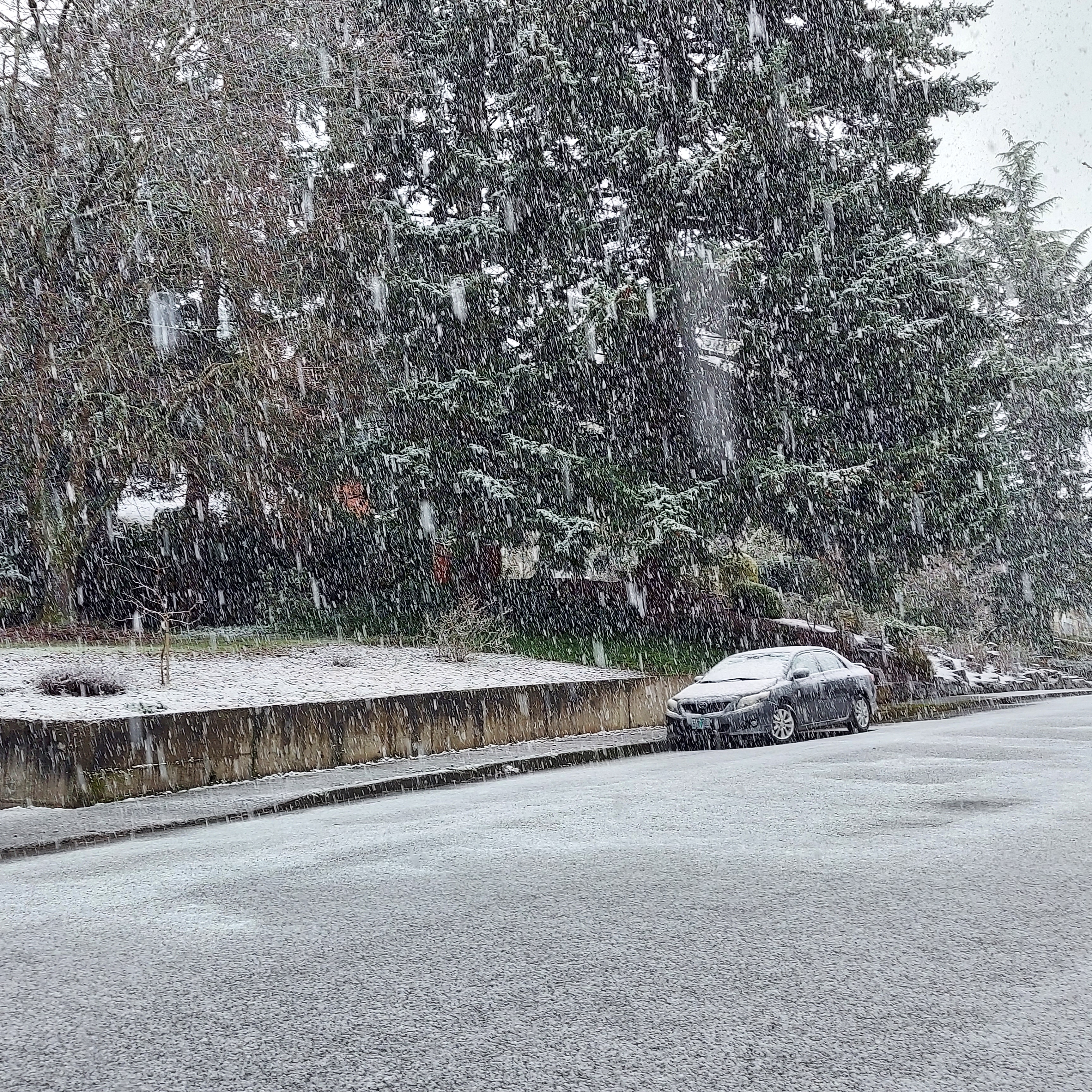
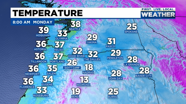
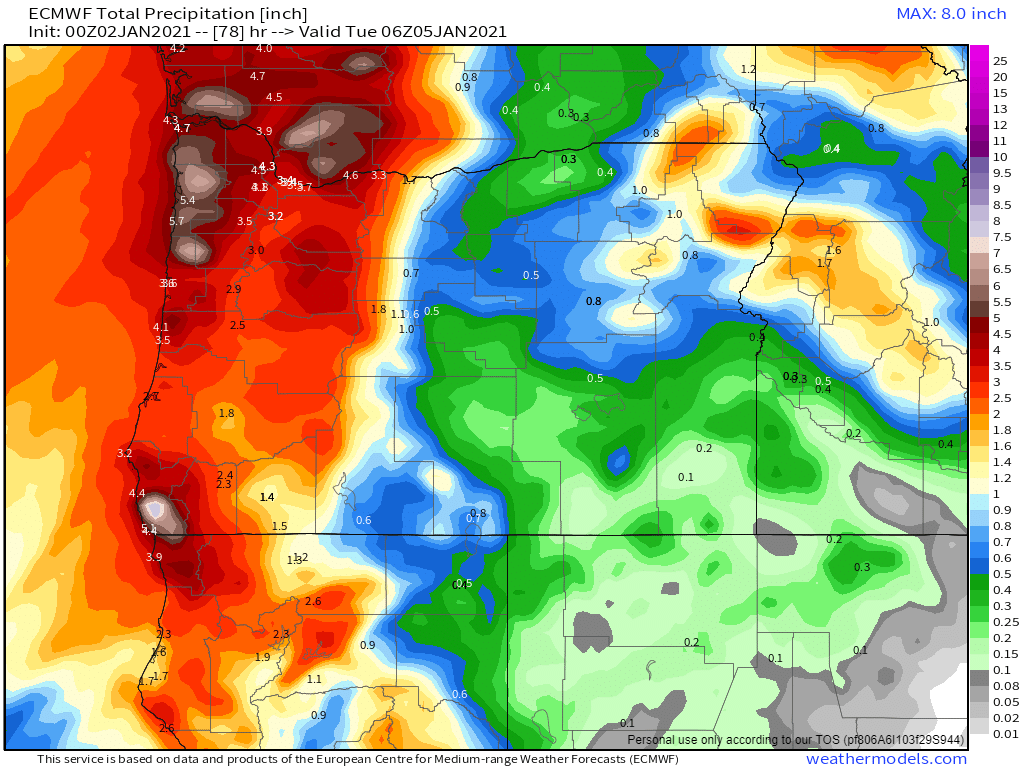
Well, no major surprises yesterday. As forecasted, a very cold rain fell through most of the Sunday with snow mixing in above 500 – 1000 feet with plenty of snow falling in both the Cascades and the Coast Range. The airmass outside this morning is chilly. Check out area temps as of 8AM.
There are pretty clear signals that we will continue to stay under the influence of cool airmasses for at least the next 7 days. I see several more chances for snow coming up this week as well; although, at this time none of them are looking real solid. Here’s my latest thoughts.
The rest of today/tonight: We could see a brief snow shower, but do not expect accumulation. We have a better chance of seeing ice pellets or even hail accumulate today than we do with snow, and even that chance is minimal.
Tuesday: It really comes down to how cold we get tonight. If we can get down to 30° or colder, then I believe we have a decent shot at snow. The problem is we have no real source of cold air to draw from, and we don’t have arctic air in place either like we have had for past snowstorms. The precipitation is arriving during the daytime on Tuesday which is why it’s crucial (if you want snow) that we start the day off cold. I’m still leaning towards no accumulating snow except maybe briefly in the highest hills around town (west and south Salem). Could be a situation where we see lots of snow falling through the air, but not sticking here in town. I’ll have an update tonight and possibly again tomorrow morning as we get closer.
Wed & Thu: Low snow levels continue. Not expecting much (if anything) during this time either, but will keep an eye on things in case changes pop up.
Fri: Will likely end up being a similar to what we are seeing today, but with maybe a little more precip, and slightly cooler temps. Those two changes equal a better shot at seeing some light dustings of snow around town.
Sun: Another cold system comes in bringing low snow levels again… This is a long ways off, so not too concerned about it yet, but you get the idea – low snow levels are here to stay for awhile which means lots of updates and things to keep a close watch on.
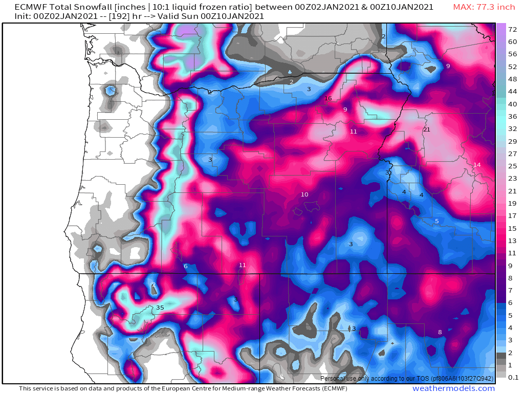
Finally, it should go without saying, but both the Coast Range and the Cascades will be getting lots and lots of snow in this cool & damp pattern. Keep this in mind when traveling as almost every highway in the state outside of the Willamette Valley will be prone to snowfall most of this coming week.
Take care and happy Monday!!