
Tonight through Saturday evening we have a slight chance for a few rain showers and maybe even a stray thunderstorm. The chance is small, and many of us will probably stay dry, but keep this possibility in mind. It’s high enough that it was worth posting about.
I’ve shared four different estimated radar images from four different weather models. Scroll through them to get an idea of what we are looking at. Most of these are for the overnight hours or early morning hours on Saturday.
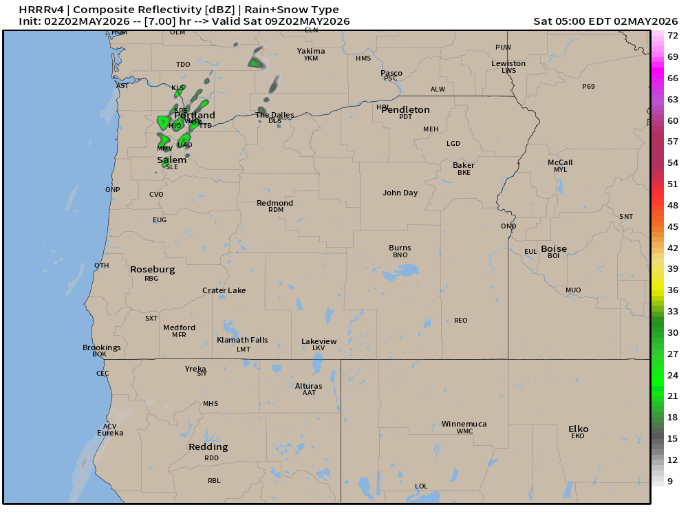
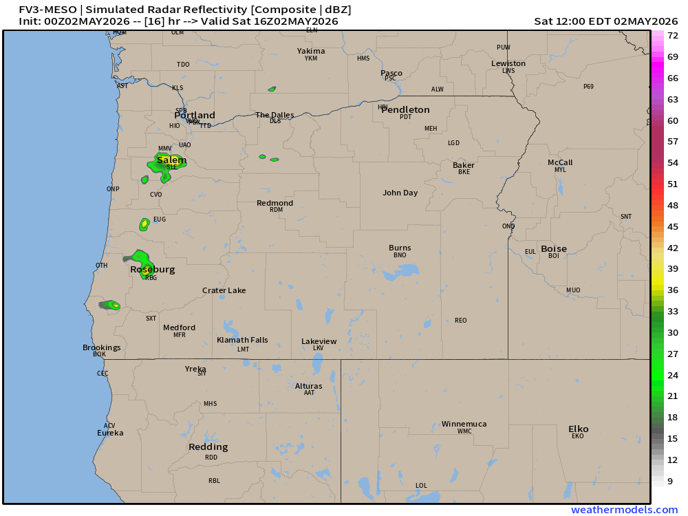
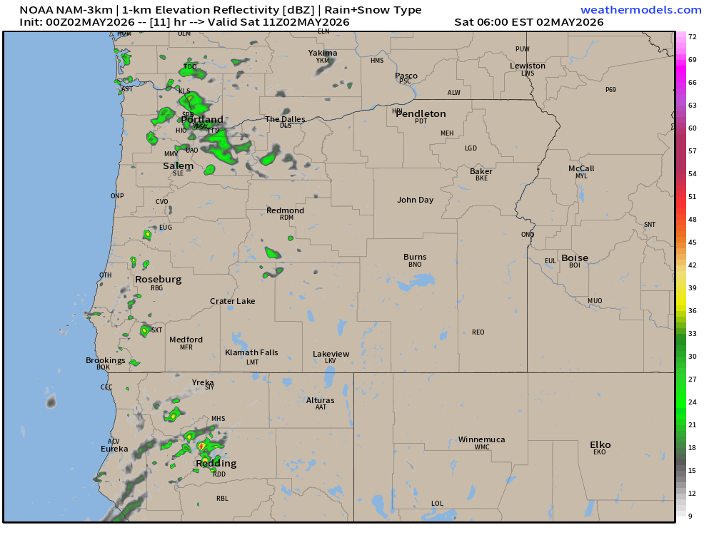
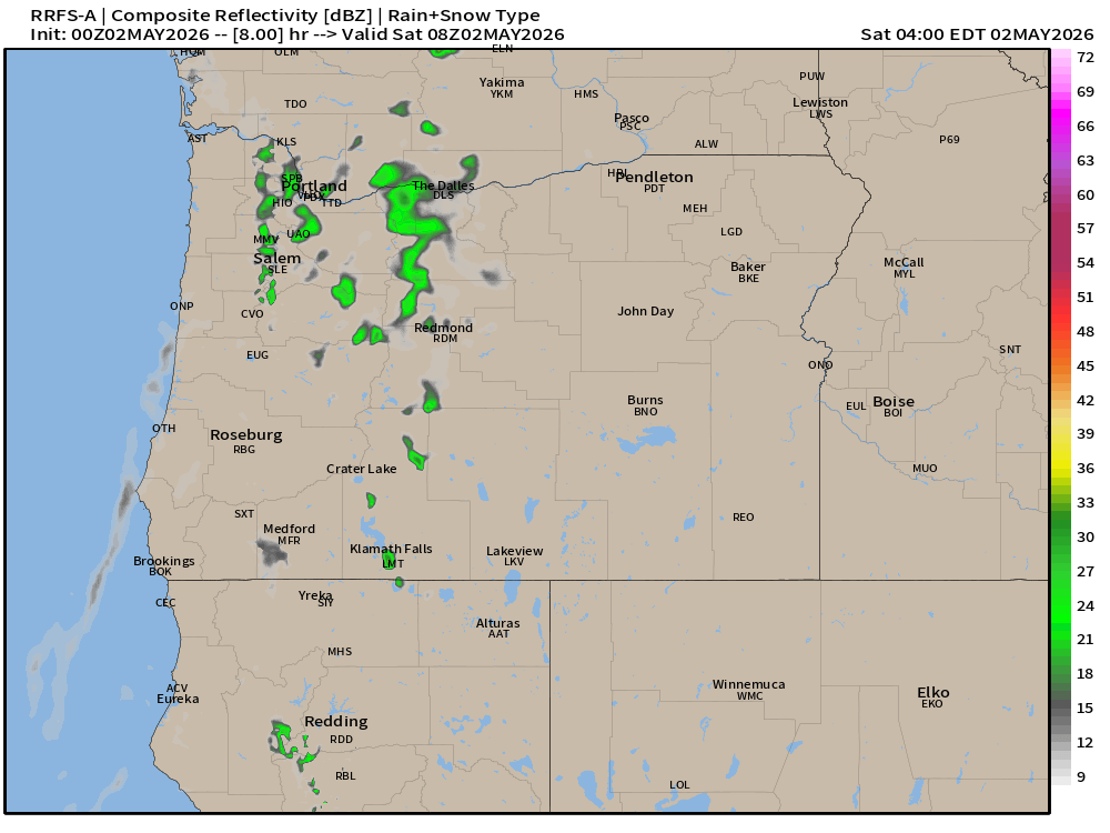
What I see is exactly what I stated above: a slight chance for a rain shower, but mostly dry. This pattern can produce stray thunderstorms too, so I threw that into the forecast.
Past experiences with similar setups tells me shower chances will linger through Saturday evening. If a shower or storm does roll through, know that it will pass fairly quickly with dry weather moving back in shortly after.
Sunday: Will be hot, especially for early May. Highs in the upper 80s. Might be a good idea to open some windows Saturday night to cool down the house before the heat kicks in Sunday.
Monday – Friday: Low 80s down to the mid 70s for highs all week long. Morning clouds will be the biggest factor in keeping highs down. Pretty simple, the longer the clouds stick around, the cooler it will be that day. Breezy at times – just like we see in summer. Currently, Monday looks to be the breeziest day next week.
Enjoy the warm weather!
