Springtime weather patterns are tricky to forecast, and just a few days ago it was looking like Saturday and Sunday would be wet, but that has changed (for the better). I suppose it’s better to forecast a wet weekend and then have it turn out to be dry than the other way around lol. All the details are below.
Details
Rest of today: A slight chance for an afternoon downpour, but mostly dry. Highs in the upper 50s. Better chance of a frost or freeze tonight thanks to the cold airmass still in place and clear skies expected tonight. Lows 32 to 35°.
Friday: After the cold start to the day, partly cloudy skies with ample sunbreaks will warm us into the low 60s.
Saturday and Sunday: Highs in the upper 60s to near 70°. Partly cloudy skies and only a slight chance for a shower. I can’t guarantee a totally dry weekend for everyone west of the Cascades, but the majority of us will stay dry with increasing clouds at times.
After Friday morning, our lows will be done flirting with the freezing mark, so sensitive plants outside will once again be safe. Lows over the weekend will be in the low 40s.
Monday – Wednesday: Monday begins dry and even mostly sunny, but showers increase late in the day. We could even see a thunderstorm Monday evening. Showers persist through Wednesday. Highs near 70 Monday, and lower 60s Tuesday and Wednesday.
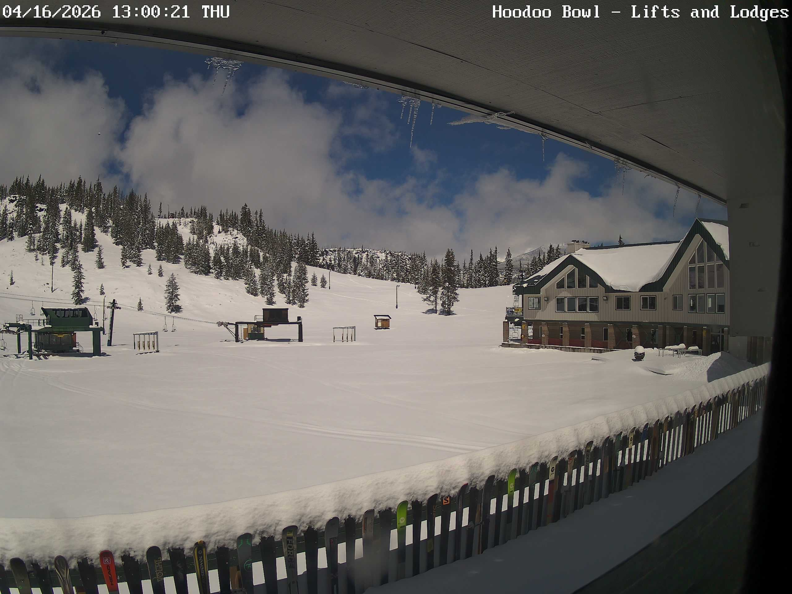
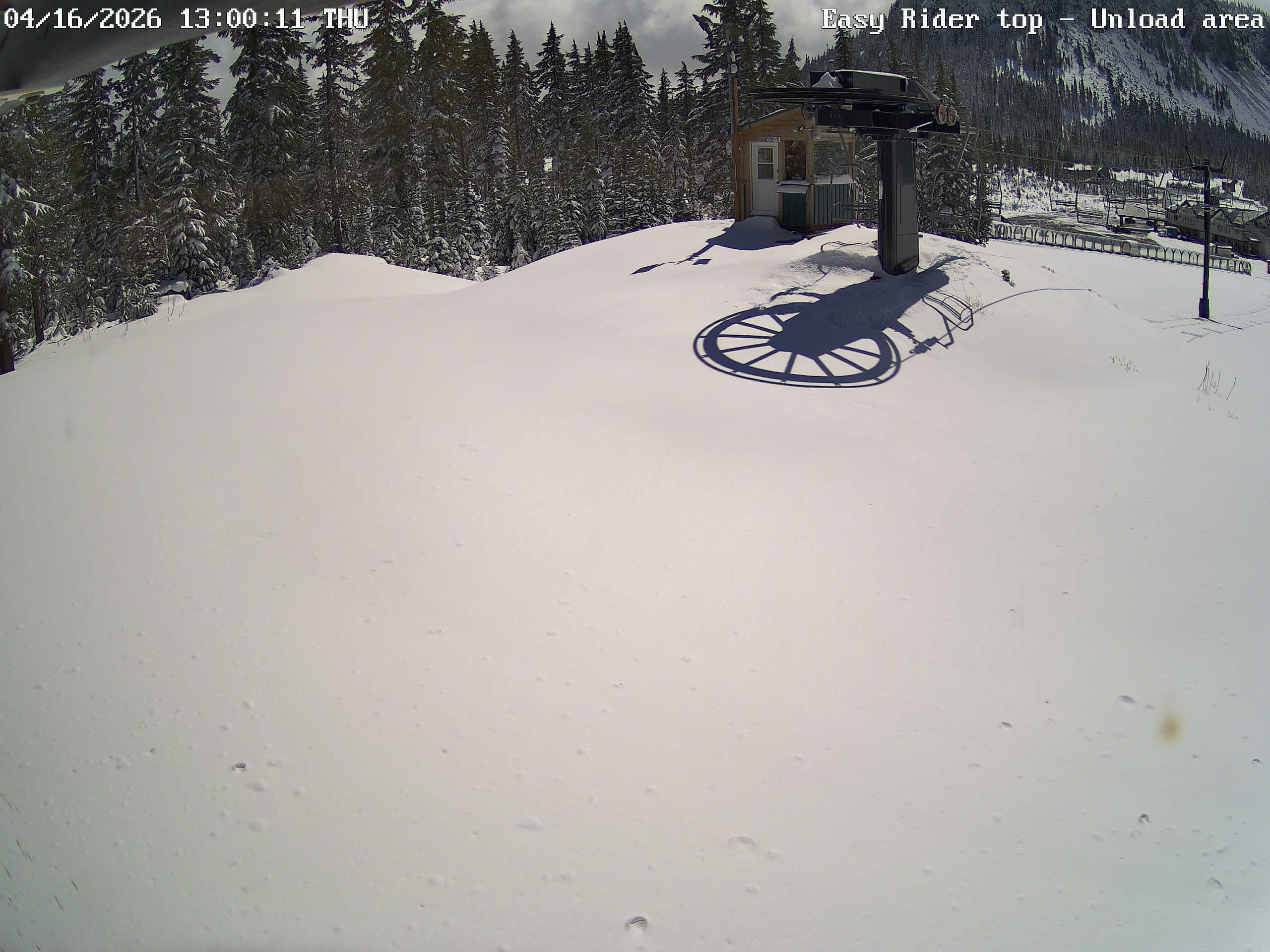
That’s it for now. I see the mountains scored well over a foot to nearly two feet of snow (depending on elevation). It was much needed! I’ll leave you with a couple photos from Hoodoo today. Hard to beat a sunny day over a fresh snowfall. 🙂