
We have had some incredibly hot weather this summer, and I plan on highlighting our extremely HOT weather in an end of summer post at a later date. For the moment I wish to highlight our thunderstorm potential here west of the Cascades.
Basically now through Wednesday morning we have a chance for showers and thunderstorms with some of the storms having the potential to be quite strong. This goes for Salem, the entire Willamette Valley, and the coastal cities too. The storms will not be widespread which makes it extremely tough to forecast who will see action and who won’t. Check out these 3 separate forecast images:
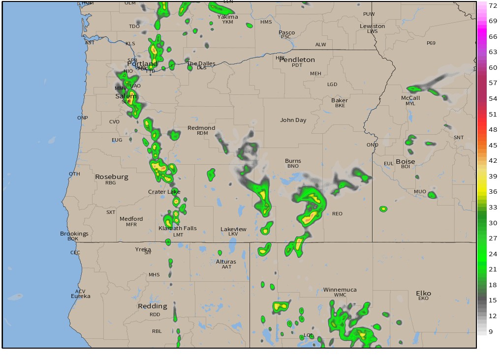


The main idea is that scattered showers and thunderstorms will be moving through the region between now and Wednesday morning. Regardless of whether or not we see storms here in Salem, Wednesday will end up being fairly cool with highs topping out only around 80 degrees.
We stay in the 80s through the weekend 🙂 before the heat returns again later next week ![]()
The Cascades and areas east of the mountains will likely see storms too. Depending on rainfall with the storms they can be a blessing or a curse as lightning could fuel more wildfires over there.
Time to see what happens, but don’t be surprised if you get rained on or if you hear thunder.
Keep on enjoying summer and stay safe out there!!
