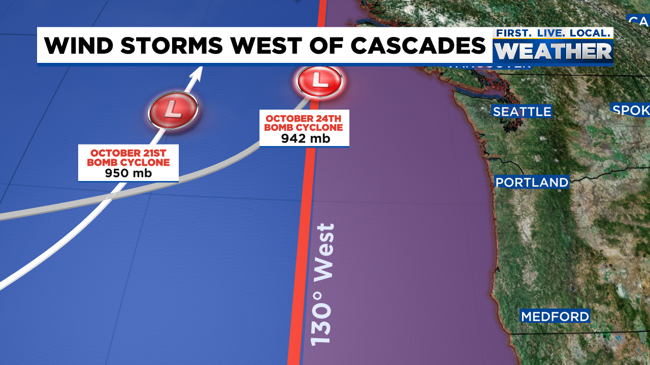
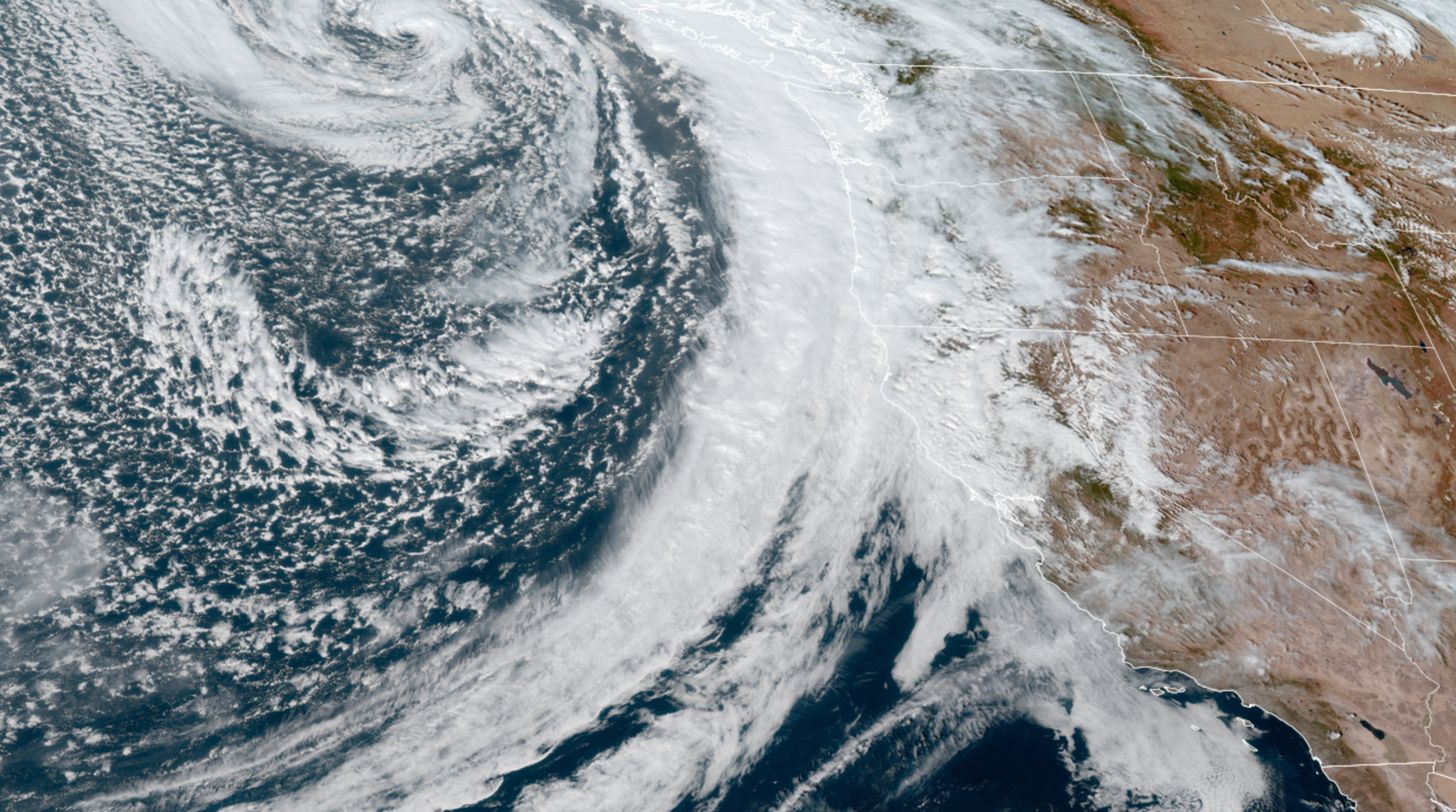
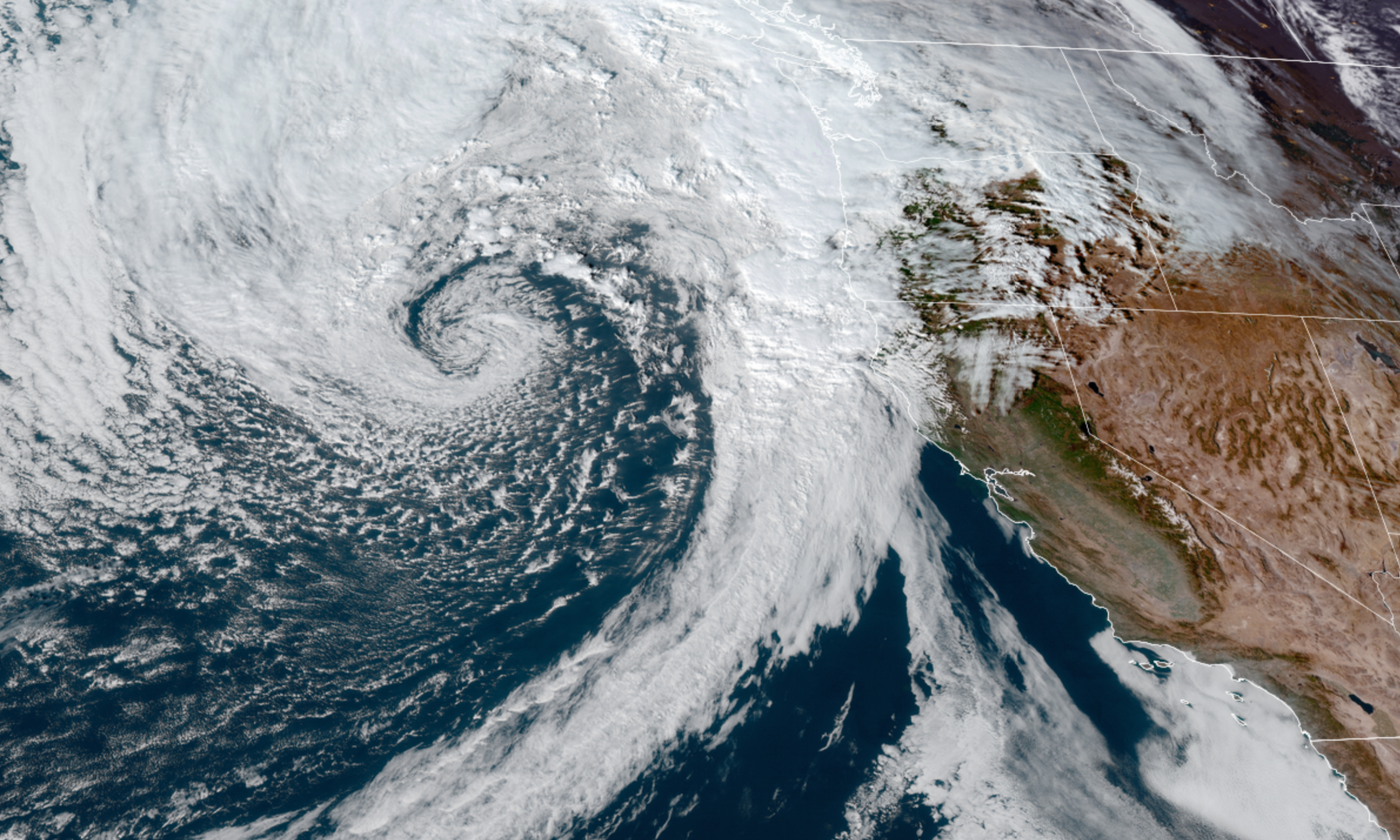
First some “old news.” The storm we had Saturday did not disappoint. Salem had over 12 hours of 30+mph gusts with a top speed of 47mph making it our windiest storm this season! The rainfall was also quite impressive with Salem receiving just over 2 inches of rain between Sat & Sun.
A much cooler airmass also rolled in with this storm allowing for copious amounts of snow to pile up in the Cascades. This image shows 2 to 3 feet of snow have fallen widespread across the Cascades with closer to 4 feet on the highest peaks! 6 to 12 inches of snow fell in the Coast Range. Take note this does not take into account all the snow that fell this afternoon/evening.
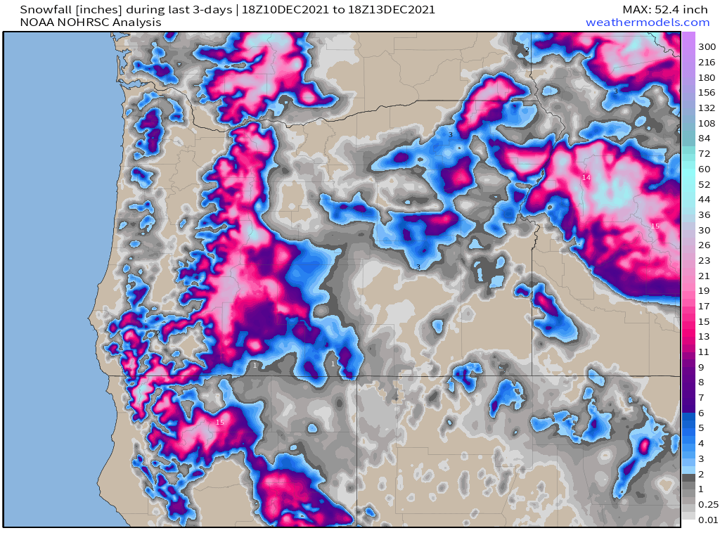
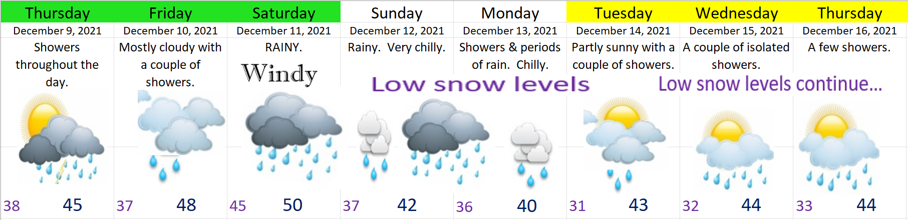
Hoodoo went from no snow at all last Tuesday to a base of 36″. Amazing to see how quickly things have turned around! Very low snow levels will be the theme for at least 2 more days.
FORECAST DETAILS
TUESDAY: A few isolated showers, but more dry weather than wet with some sunbreaks too. Anyone could see some snow in the air during the morning hours, but extremely low chance anyone sees anything more than just that – no accumulation is expected.
WEDNESDAY
There are a few things that pop out at me, but we could flirt with a little bit of snow early Wednesday morning.
1.) This scenario will favor the western Willamette Valley in a similar way to the January snowstorm we saw last winter – only this time we SHOULD be a few degrees warmer. Look for a quick final update Tuesday evening.
2.) Whether it snows or not, we will be very close to freezing, so plan on a cold day with snow at least in both the Coast Range and the Cascades with snow levels between 500 and 1500′.
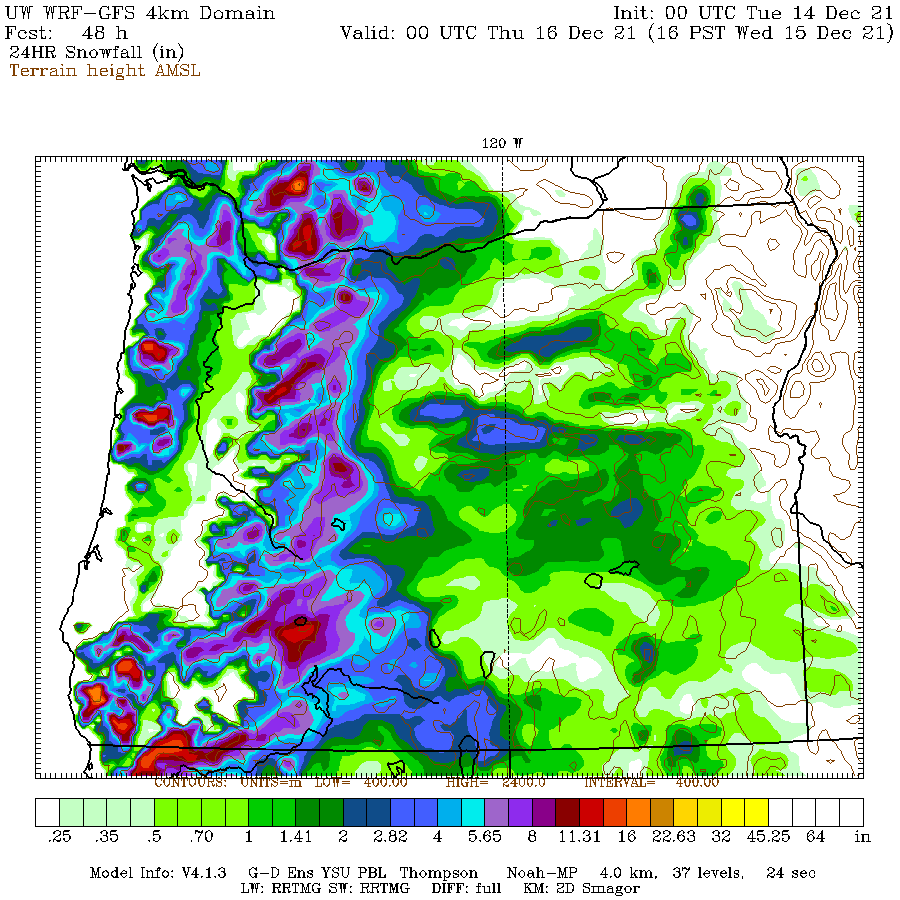
3.) For now plan on snow as being a possibility Wednesday here in the valley – specifically the western valley locations like Corvallis, south and west Salem MAYBE, as well as in Independence, Dallas, Newberg, and McMinnville. This map shows this well with snow coming very close to the valley floor on the western side of the Willamette Valley while locations generally east of l-5 see a mix or just plain ol’ rain.
Again, I’m not calling for sure snow at this point, but we will be awfully close Wednesday, so look for that update Tuesday evening.
THURSDAY: A few showers.
FRIDAY: Dry. This is your one and probably only totally dry day for awhile…
SATURDAY: Rainy. Mountain snow.
Christmas week
Taking a peak at next week (the week of Christmas), it’s looking like it could be even colder – maybe much colder (snowy too maybe…). I’m definitely going to be watching things closely, but it seems likely the cooler/colder pattern is here to stay.
Okay, take care and drive safely!