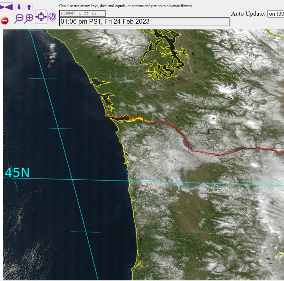
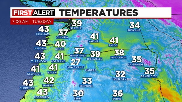
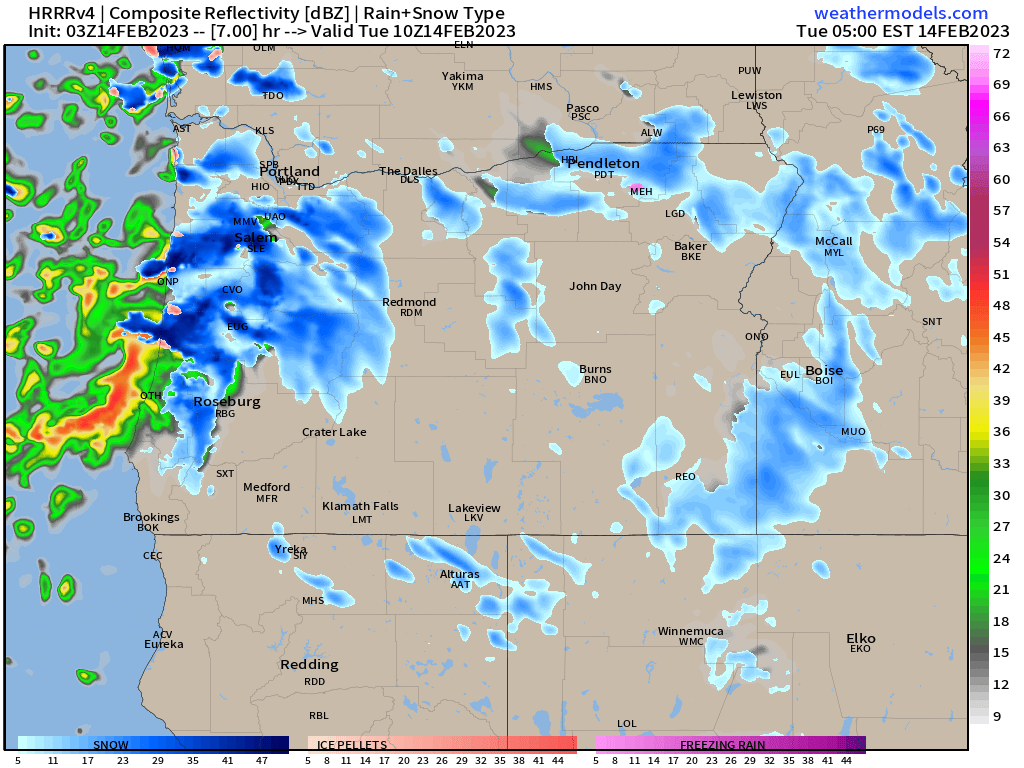
More snow is on the way for at least some of us here in the mid Willamette Valley, and just like what we have seen several times over the past week, elevation will play an important role in who gets snow and who doesn’t.
Timing
Late tonight (after 1 or 2AM) through Tuesday morning.
What to expect
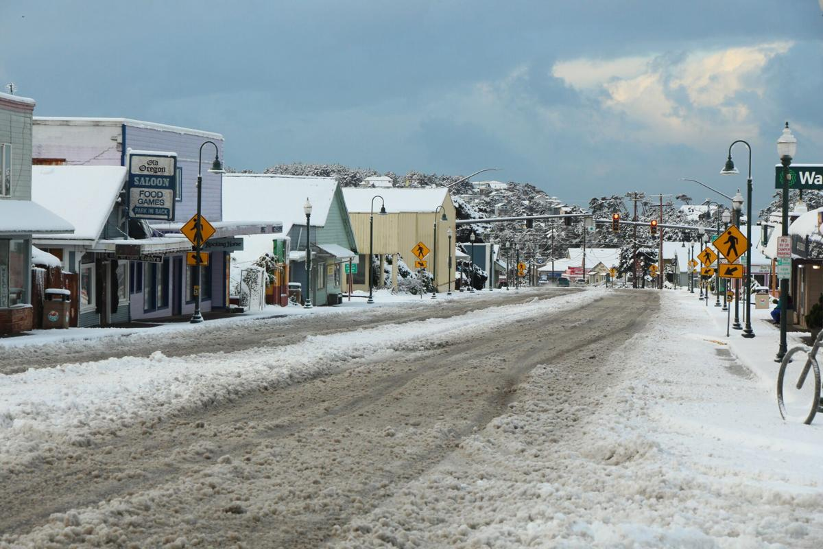
The higher hills around the valley including west and south Salem as well as the hills both up towards Amity and outside of Silverton could see up to 4 inches tonight. Anyone, even locations down to the valley floor could also pick up some accumulating snow tonight; however, I’m thinking 2 inches is probably the max amount anyone on the valley floor gets with this storm. Because of the showery nature of this system, there will also be locations that just don’t get any snow, but it’s close to impossible to nail down those places ahead of time.
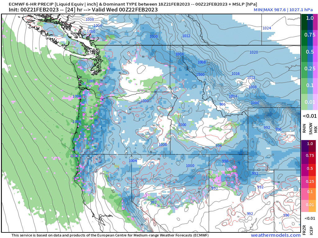
There should be a bit of moisture to work with tonight through Tuesday morning aiding our chances for snow. Additionally, the airmass as a whole is colder tonight than the previous two nights adding to my confidence that someone in the Willamette Valley picks up a few inches of snow tonight. Where these bands of precip/snow setup will determine the big “winners” for getting snow, but everyone should prepare for snow to impact your morning commute Tuesday.
Time to see what happens, but my best guess is telling me the Salem area stands a decent chance of seeing accumulating snow tonight/Tuesday morning.
Recap
Anyone could see up to 2 inches of snow with 3 to 4 inches likely once you get around 5oo feet or higher. Some neighborhoods could miss out on the snow, but I have a feeling tomorrow more of us will see snow than those who don’t.
Of course the mountains will continue to get hammered with snow. Expect another 8 to 12 inches up in the Coast and Cascade Ranges.
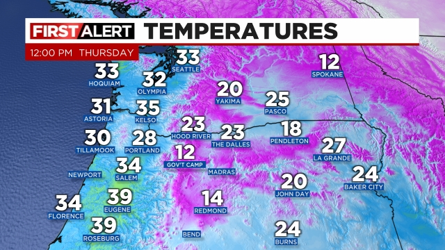
The remainder of Tuesday here in Salem will be very chilly with temps in the upper 30s to around 40 coupled with additional showers of rain and snow. Maybe a snow shower or two Tuesday night before we dry out for Wednesday morning. Expect a widespread freeze Wednesday morning with lows in the upper 20s. Brrrr! Winter is just not done yet.