
The forecast through Wednesday is looking extremely hot, especially during the afternoon and early evening hours each day. Highs 98 to 102° today – Sunday. So much for a not so hot summer lol… Lows will at least drop into the low to mid 60s each night with temps being cooler the further from urban heat islands you go. Upper 50s are likely in most outlying and rural areas. This is thanks to the longer nights. I checked, and we have lost about two hours of daylight since the summer solstice. I personally really enjoy the long evenings of summer, but regardless of how we feel about the season changing, we can’t stop it, and a benefit of the longer nights is cooler starts to the day – even during a heatwave.
For Monday I’m going with a high of 92° assuming we see some cloud cover cover from dissipating thunderstorms known sometimes as “debris clouds.” If we get significant cloud cover that day, we could top out closer to just 90, but if clouds are minimal, then we will see another day where highs approach 100. Either way, still a very warm airmass.
Tuesday: Highs in the upper 90s to near 100° again.
Wednesday: Highs in the lower 90s.
Thursday: Highs finally return to the 80s.
The Cascades and central OR
Beginning Sunday afternoon and lasting through at least Wednesday of next week, the Cascades and parts of central Oregon will see afternoon and evening thunderstorms. Lightning could spark additional wildfires, and lightning, locally heavy rain, and hail could be cause dangerous conditions for hikers, campers, and anyone outdoors.
No need to cancel outdoor plans in the beautiful outdoors. Storms will be scattered in nature, so not everyone will see action each day, but be aware of it if you have plans in these areas. Simply keep an eye on the forecast each day and if you see clouds building/bubbling up, then that’s a good sign of healthy convection and consequently a good sign to maybe pause your outdoor adventure. Storms will generally move from south to north with this type of weather pattern, but will take on a more northwesterly direction Sunday night and Monday which is why we could see more cloud cover that day.
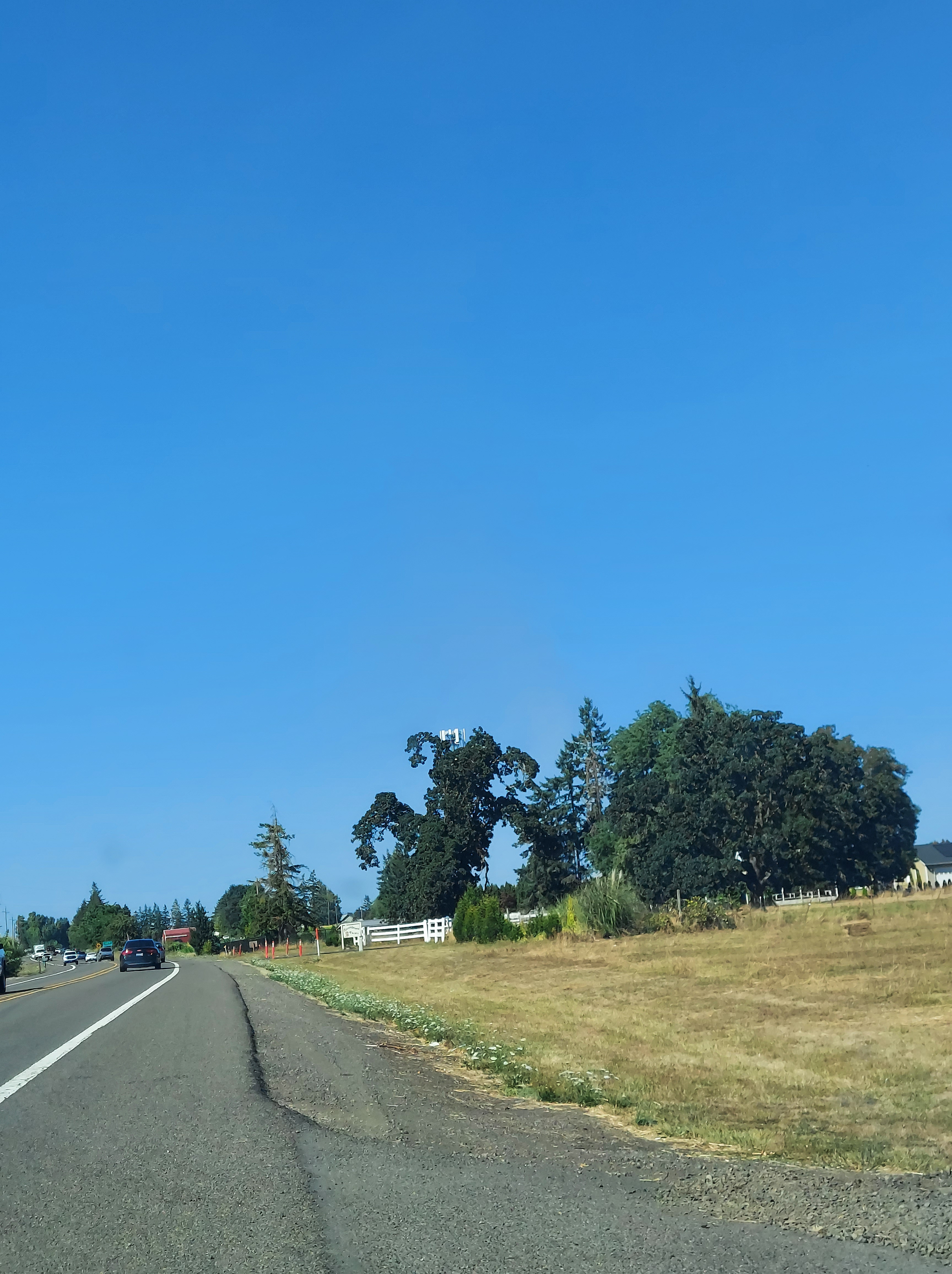
I’m at the end of the post and I realized I prepared no fun graphics, charts, or colorful images, so I thought I would share this silly photo I took the other day. I drive past this tree on Cordon Road often, and each time I feel like it looks like a monster – a friendly monster of course lol, but I had to pull over and take a pic so I could SAFELY get a better look. Anyway, I leave you with this. Be safe out there, stay hydrated, and watch out for friendly monsters roaming around Cordon Road haha. 😀

Love the pic! Thanks for sharing and all your work in keeping us informed!
LikeLike