This post has been a work in progress for several days now as I’ve gathered pictures and a few stats all while dealing with no internet up until this past Sunday. I wanted to do a detailed review of our historic and destructive ice storm including an overview of the events which took place, some photos and reports from around the region, and a few thoughts going forward. This was definitely a historic storm and deserves a post like this for reference in the future.
TIMELINE
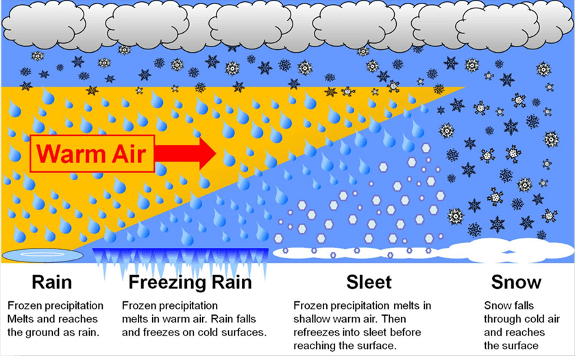
A combination of very cold arctic air pouring south from Canada and two very moist pacific systems led to what ended up being the worst ice storm here in decades. Around two tenths of an inch of freezing rain accumulated Thursday night as temps fell below freezing. A few snowflakes and a little bit of sleet mixed with the freezing rain specifically in areas north and west of downtown; however, for the most part it was freezing rain. I threw in this graphic again to illustrate why we saw freezing rain instead of snow despite temperatures being 28 to 32 degrees the whole time.
Friday was brutal with light freezing rain on and off all day long and a high of 30°. I still need to do some more digging, but it appears Salem tied its record for coldest high temp that day. BRRR!! Then a second and much stronger pacific storm rolled in right at sunset bringing around an inch of additional freezing rain which froze onto all elevated surfaces in the Salem area. A lot of widespread totals 1 – 1.25″ with a few isolated locations reported up to 1.5 inches of freezing rain when all was said and done! That is a ton of extra weight for trees and power lines to hold up which is why we saw so much destruction. To make matters worse the Portland area continued to see freezing rain Sunday through early Monday morning which led to thousands of outages up in that area as well turning this into a region wide disaster.
WHY SO BAD?
The shear amount of ice was hands down the main reason this ended up being a historic event here in the mid Willamette Valley, but there is a little more to it than that. The Salem area picks up somewhere close to a quarter inch of freezing rain ever few years with the winter of 2016/2017 being the last time we saw any. December 2008 gave parts of the Salem area a fairly major ice storm with around .75″ of ice. One has to go back to January 2004 for the last time any part of Salem received totals of an inch or so of freezing rain, and you have to go much further back (several decades) in time to find accumulations around here which come close to 1.5″ of ice!! So it’s been a very long time since we have seen a major (inch plus) ice storm. The long period of relatively “tame” weather has allowed our deciduous trees to grow and grow and grow much lager than they otherwise would be. Plus it’s not like Oregonians are known for keeping their trees trimmed lol. Something we could discuss another time… Anyway, the combination of overgrown trees and a historic amount of ice coupled together to give Salem and parts of the Portland metro area one of the most costly, darkest, and longest power outage disasters in decades.
THE STORM AND THE AFTERMATH
At the peak of the storm, more than 350,000 PGE customers here in Oregon had no power at the same time with over 5,000 power lines and three substations down! In total PGE had nearly 490,000 customers lose electricity at some point during the storm. Those stats do not include smaller utility companies, so when we add in the outages reported by companies like Salem Electric and Pacific Power, the number of customers without power goes up an additional 50,000 or so. A point of clarification, a customer is either a household, apartment complex, or business, which is one reason why it’s difficult to know exactly how many people ended up losing power. I imagine final numbers will come out eventually, but regardless, there were an awful lot of people without power, and the fact that there are still a few without electricity goes to show just how destructive this storm was.
THE STORM IN PHOTOS
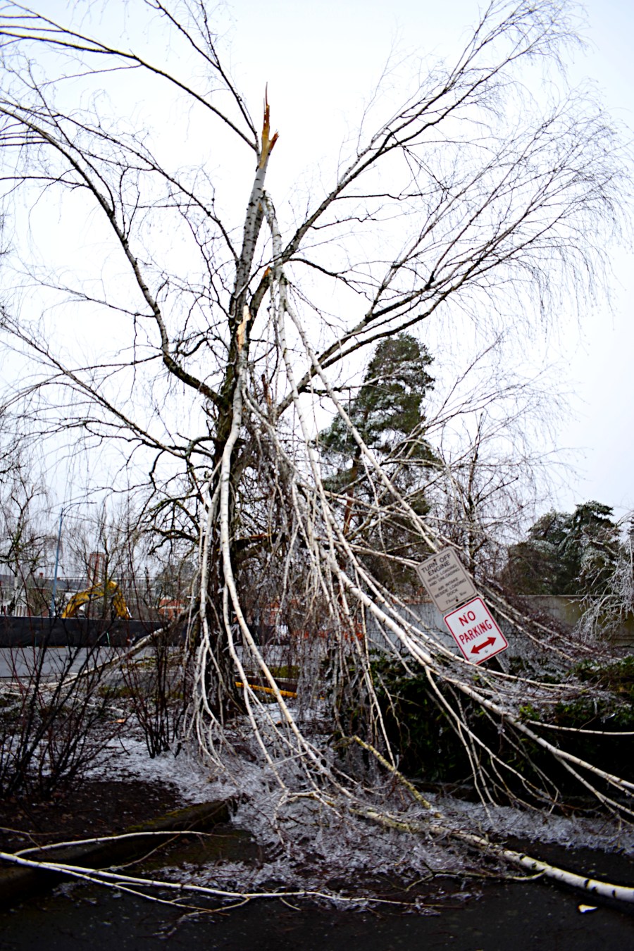
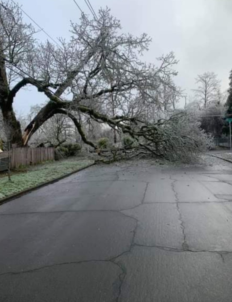
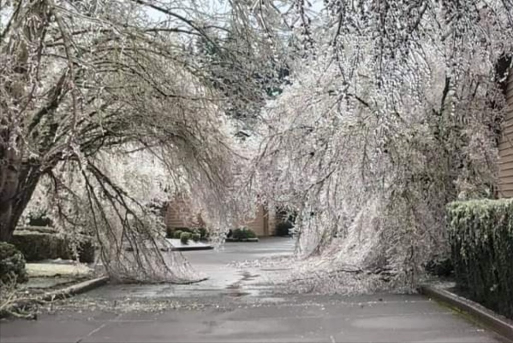
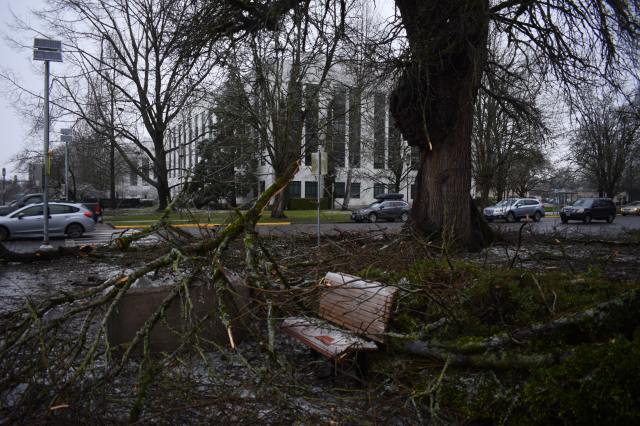
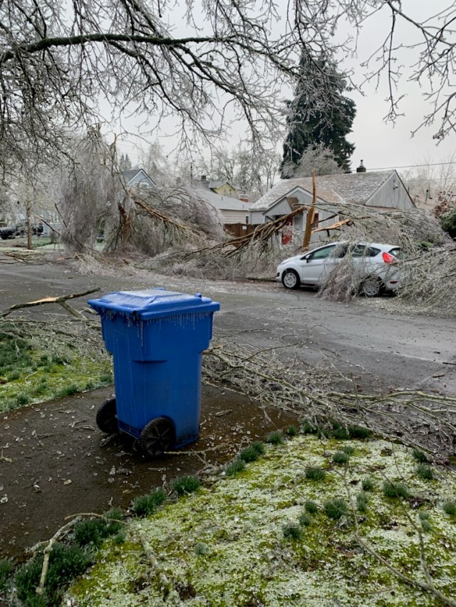
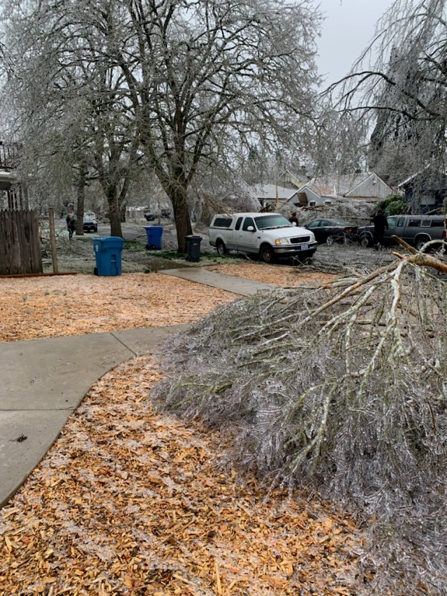
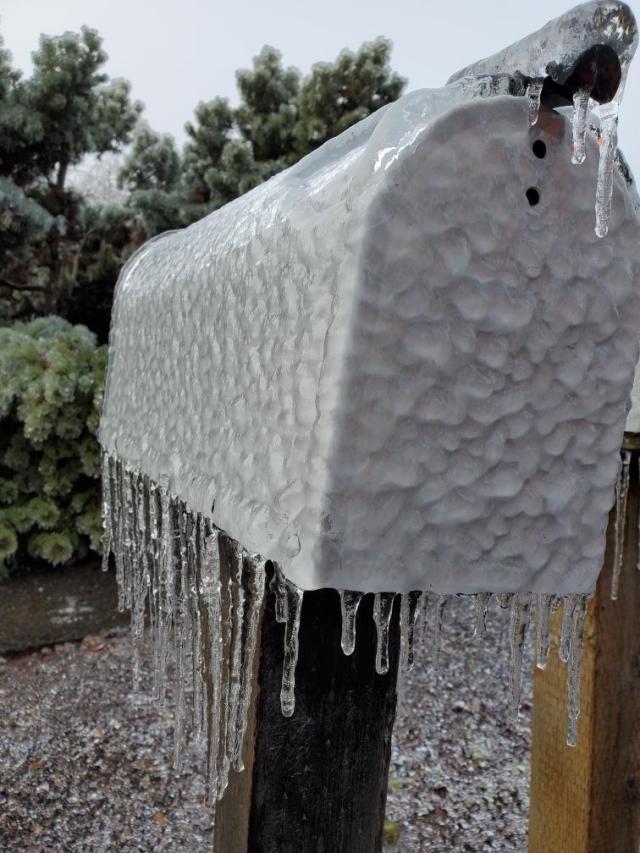
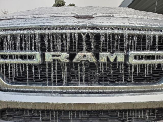
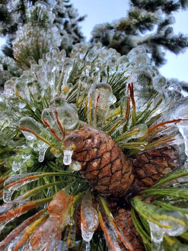
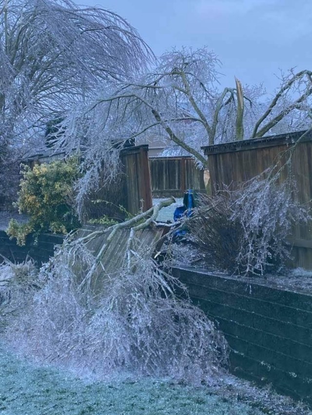
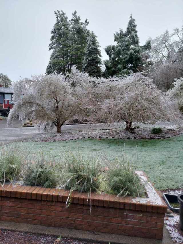
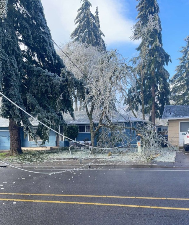
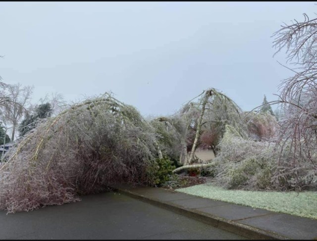
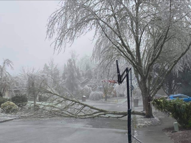
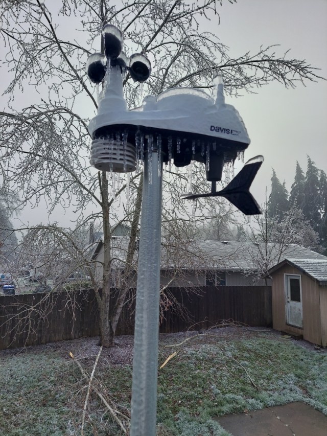
Below is a slideshow of photos which for the most part were shared with me by some wonderful followers, friends, and family members showing the ice and destruction from this historic freezing rain storm. This will be the storm we measure up to for years to come no doubt about it.
A FEW THOUGHTS ON STAYING PREPARED
Finally, I would add that between the shutdowns from COVID, the fire and smoke disaster this past September, and now this ice storm, it’s definitely (if you don’t already) a good idea to have at all time extra food, water, essential toiletries, medications, light sources, and sources of heat. I’m not promoting hording. In fact, hording is something I think people should avoid lol; however, there is something to be said about keeping some extra supplies on hand and gas in the car for when disaster strikes. While Salem does not received the sever weather that parts of the plains and gulf states receive, it is still remarkable looking back through history as a weather enthusiast and seeing the shear lack of extreme weather here in Salem (floods, snow or ice, and wind storms etc) over the past decade when compared to previous decades prior to this past September when we had the historic east wind event which helped spread the fires. Regardless, it would be foolish to think we will somehow be disaster free now for long time to come. There is no one season in which all disasters strike, and they can happen at anytime, so be prepared, be ready, and let’s all hope and pray that we are in fact done with these “once in a generation” events for awhile.
Bottom line is we never know when something could happen, so be ready. As the storm drew near it become clear we would see a “top tier” ice storm and we did, and while power outages were predicted, but I never would have guessed that so much of Salem, Keizer, and the northern Willamette Valley would end up without power for multiple days to over a week!
Lastly, let’s also hear it for the utility companies and related work forces who have worked incredibly hard restoring power and internet!! I’ve seen their trucks rolling around town at all hours of the day almost every time I’ve wondered out.


Pingback: Winter 2020/2021 Review – Bryan Weather Alerts