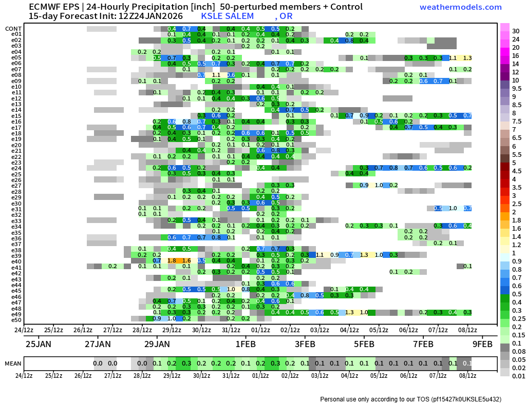
The rain returned as promised, and sticks around for a few more days. Here are your quick highlights with additional details below:
Highlights
- Showery Friday. High of 52°.
- Foggy Saturday morning, but mostly sunny afternoon. High of 55°.
- Showers and sunbreaks on Sunday. Some heavier showers possible. High of 53°.
- Monday through Friday: Dry and mild. Foggy mornings are likely, but the fog shouldn’t last all day. Highs in the mid to upper 50s to near 60°.
Details
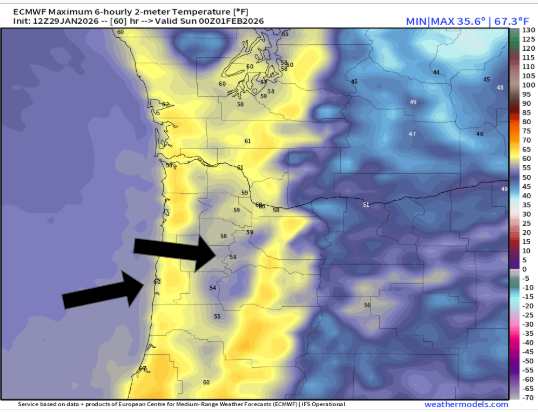
Saturday will be the only dry day this weekend, but it looks to be pretty amazing with highs in the mid 50s. I’m curious how long any valley fog that develops sicks around Saturday morning. If this was mid January the call would be for fog all day long, but the sun angle is getting a little higher now, and I think we should see a really sunny afternoon Saturday.
This is a high temperature map for Saturday. Notice Salem is cooler (56°) versus 60s out along the coastline.
After a showery and cool day Sunday, we dry back out for next work week. There’s a good chance Monday has some fog and leftover clouds holding temperatures down. High of 52°.
Then check out Tuesday! Fog is the only factor (sometimes difficult to predict several days out) that could hinder high temperatures Tuesday. Regardless, Tuesday’s going to be a very mild day for the pacific northwest. Mid to upper 60s likely along the coast. Should be great weather at our beaches! Look at those high temps for Tuesday. 🙂
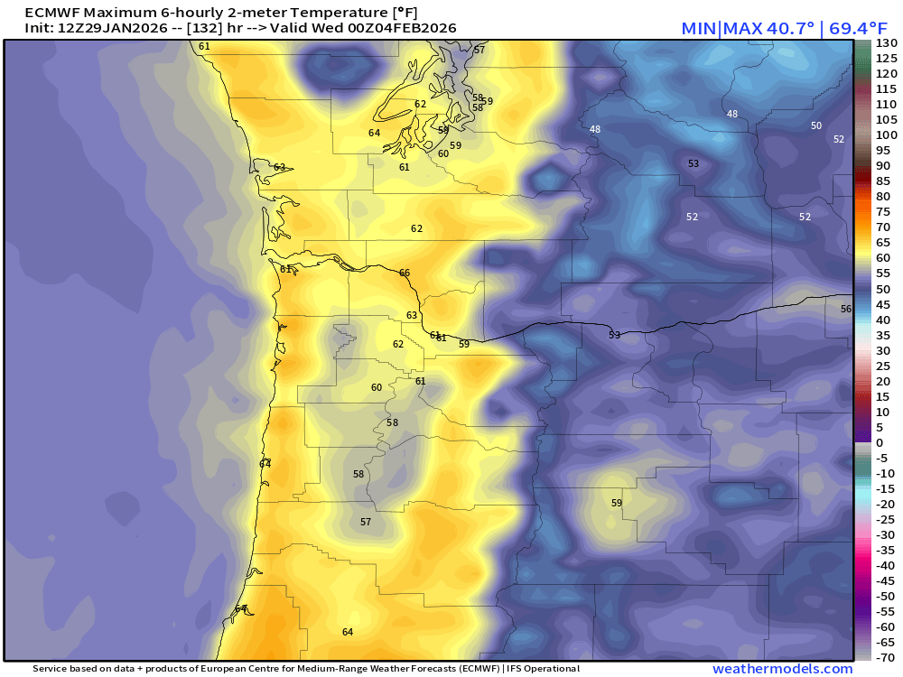
Notice the valley is still cooler than both the coast and Cascade foothills. This is due to the inversion layer being slower to break up there. Remember, an inversion takes place when cooler air is trapped below a layer of warm air.
Overall, a great stretch of weather on tap next week. I feel pretty confident the nice dry weather lasts through next Friday (Feb 6th), and possibly through the 7th. Lots of mid to upper 50s, and maybe a 60° day mixed in there for mid Willamette Valley.
Lows each morning will drop well into the 30s. Afterall, it is still winter, and the nights are long, but layers will be the name of the game next week with mild & sunny afternoons each day.
This is a ways out there, but I see pretty solid agreement that wetter and cooler weather makes a comeback to the region on Super Bowl Sunday (8th) or the 9th.
Take care, and enjoy the beautiful weather!!!