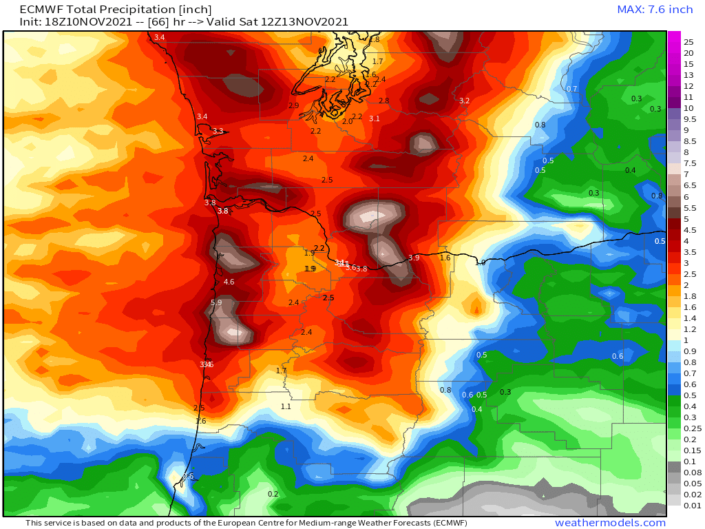
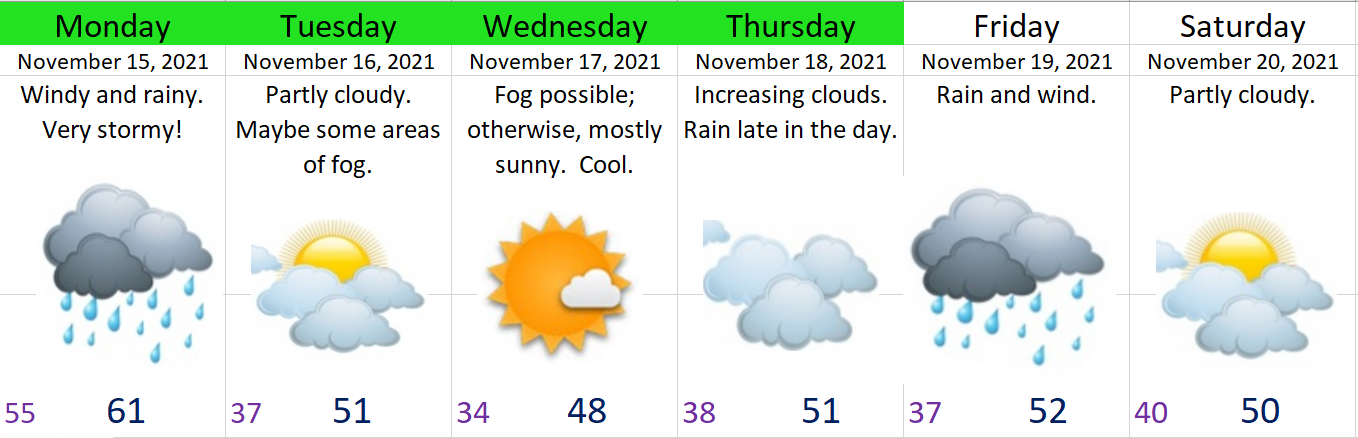
I know I’m at risk of losing popularity for saying this, but I have really enjoyed the rainy weather this fall. We were due for a really wet November. Saturday was the first totally dry day we have had this month. Hard to say if the second half of the month will be equally wet, but we are definitely on the “right track” for a wetter than average November. Here’s the extended forecast. Notice it’s not nearly as damp as what we saw last week.
Highlights and details
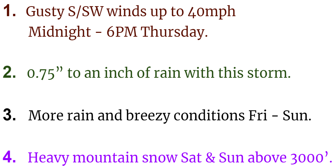
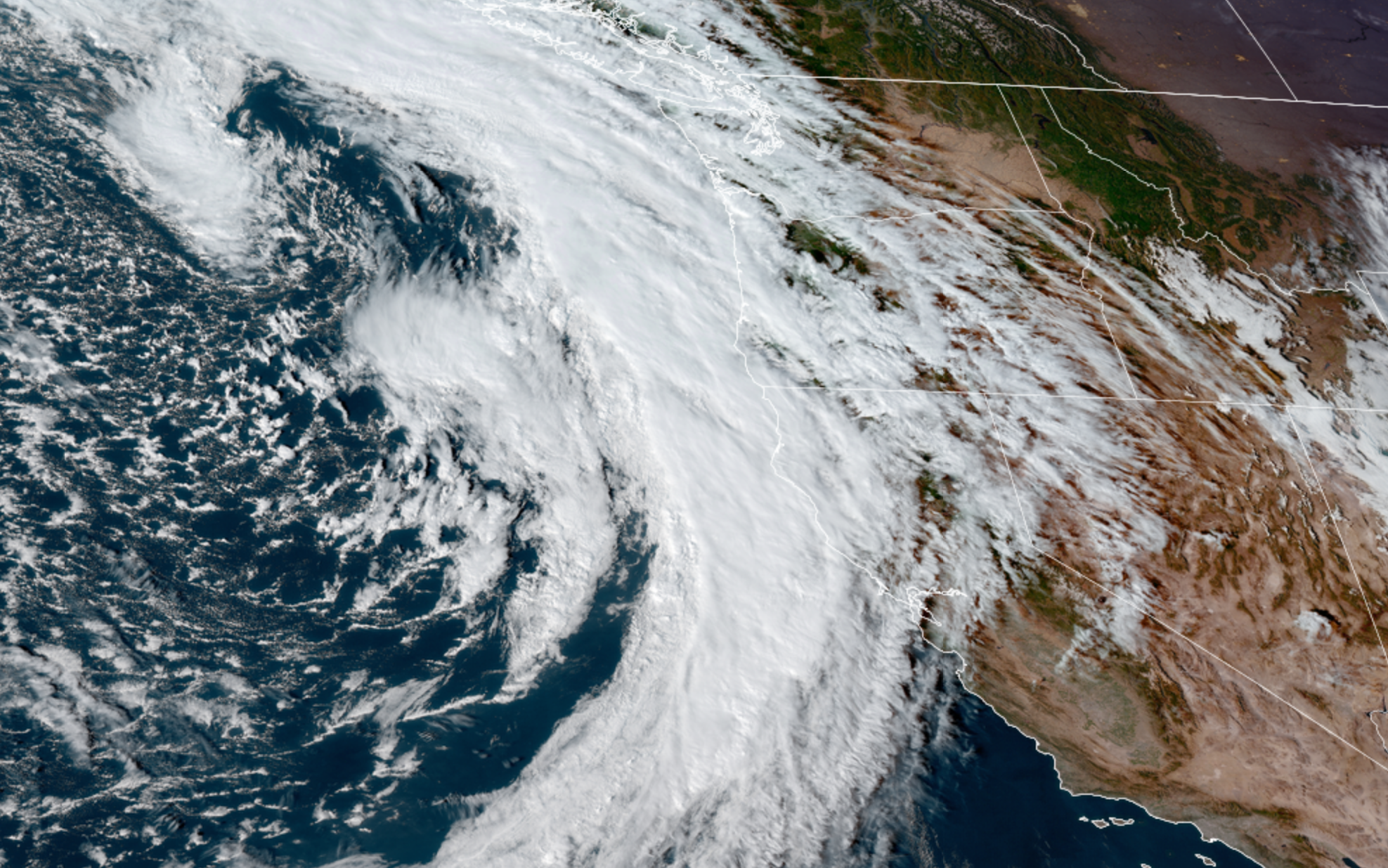
Monday is going to be a stormy day. A very potent cold front moves in Monday. This front will be a fairly strong with gusty south winds ahead of it. Gusts will range from 30 to 40mph. Expect a few hours of steady rain – some of which will be quite heavy and could lead to some isolated street flooding where drains are clogged. A sharp drop in temperature will follow behind the front as winds shift to the west northwest. Snow levels will drop from over 7000′ down to 3000′ Monday night; however, only a few inches of snow is expected in the passes as most of the precip with this storm will be fall on the warm side of the front.
Then we have a two day stretch of cool, sunny, and dry weather. Could end up with a bit of stubborn fog here in the valley, but it will definitely be dry and the mountains and coast should be very nice and sunny!
I’m keeping a close eye on Thursday and Friday as another dynamic storm moves across the state. This one could bring another round of very gusty winds to the region along with mountain snow.
Have a great week!!