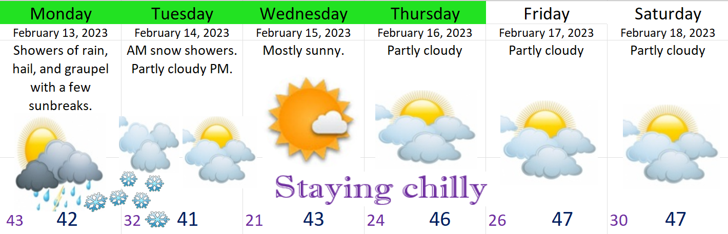
It’s always interesting to see things progressing in real time versus what is forecasted, and on a personal note it’s both exciting and really nice to see things working out at least close to what I had in mind lol. So far so good. Today will certainly be a wild day for some of you with gusty winds, hail, downpours of rain, plus tons of snow up in the mountains. Tonight temps cool off even more dropping the snow level close to the valley floor. Anyone could see snow tonight/Wednesday morning, but the larger and more significant chance for snow comes Wednesday night through Thursday morning. More on that later.
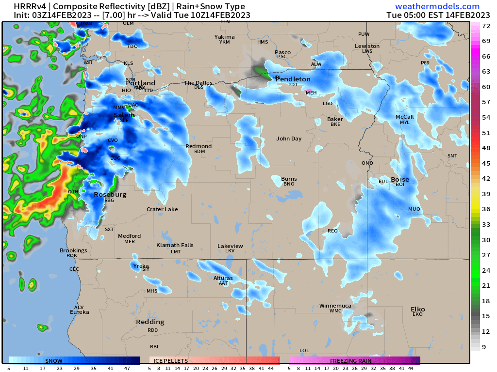
First let me show you a few images which will really help convey our weather for the next 3 days. This first image is for 4PM this afternoon. Basically what I see here are gusty winds as indicated by the tight isobar lines on the map, and it’s true, winds will be gusty today, especially higher up in foothills and mountains. Next, I see lots of blue in the Cascades which equals lots of snow up there, but I also see a skinny strip of blue in the Coast Range telling us the snow levels will indeed be very low.
Next is an image for 4AM Wednesday morning. This shows a bit of pink between the Coast Range and the Cascade Range which indicates even lower snow levels. This could easily be a 2 hour delay type of day as snow falls in the higher hills. This will be a showery setup, so even valley floor locations could see sticking snow in this scenario if a heavy shower were to pass over; however, the higher hills around town are definitely favored in this situation. Overall I expect nothing to an inch or so here in Salem, but probably little more than that.

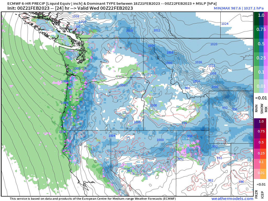
At some point Wednesday evening a new low pressure system forms offshore. Very cold arctic air will be pulled from the north as well as from the east through the Columbia River Gorge. This sets us up nicely for widespread snow. By the time we reach Thursday morning (roughly 4AM), we are in well within a band of snow thanks to this perfect combo of cold arctic air from the northeast and moisture wrapping around a low pressure system. A storm like this could give anyone in the Willamette Valley several inches of snow. Trying to figure out where the heaviest bands of snow set up is tricky, but for the moment is seems like locations between Albany to Portland have a good shot at scoring some decent snowfall. Check out the image below showing this potential.

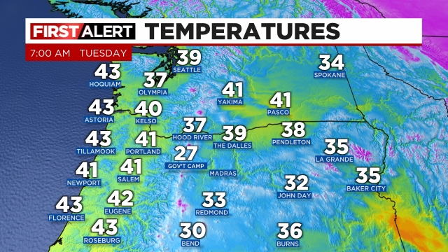
Lastly, here’s a quick glance at what temps were as of 7AM this morning across the region.
Have a safe and wonderful Tuesday! 🙂