It’s Sunday evening, and it’s the perfect time to do another update. We have a highly active pattern, and I will continue to update fairly regularly all week long.
Highlights
Monday: Showers. High of 49°. Heavy rain late at night with increasingly strong winds. Winds overnight Monday into early Tuesday will gust 40 to almost 45mph
Tuesday: An extremely stormy day with strong gusty winds continuing through much of the afternoon along with heavy showers and downpours at times. Highs in the mid 40s.
Tue night/Wed morning: Well, this time frame continues to look more and more interesting. A very dynamic low pressure system carrying lots of moisture is set to move directly over Oregon. Locations to the south of the storm will see strong gusty winds again leading to another chance at some power outages. Meanwhile, locations to the north could actually see a brief period of heavy wet snow down to near the valley floor. This would be a short lived event and would not last long, but it would make for an exciting start to Wednesday for those who do end up seeing snow. The exact track of this storm is super important and slight shifts north or south will change the zone where snow does/doesn’t fall, so stay tuned, but this storm has “surprise snowstorm” for someone in the Willamette Valley written all over it.
Wed: Showers with sunbreaks. Locations that do see snow Tue night/early Wed morning should see a bit of melting as temps warm back up to the lower 40s with rain showers.
Thu: More rain showers; however, the atmosphere will be cold enough that anyone could see a little slushy snow during the morning hours. PM showers and sunbreaks. Highs around 40°.
Fri – Mon: Increasing confidence that much colder air will at a minimum brush by the region. This is a bitter lobe of arctic air, so even a quick drive by would send temperatures down quite a bit. Should it get any closer and we would could get even colder. By Tuesday things should be a lot more clear, and I’ll provide another update at that time. Same thing for snow. Currently, it appears our high temps over the weekend will remain at the warmest in the 30s which is much colder than anything we have seen this year. Chances for snow or ice over the weekend also are much higher than usual. So for now, plan on the possibility for snow or ice to disrupt your regularly scheduled events this coming weekend.
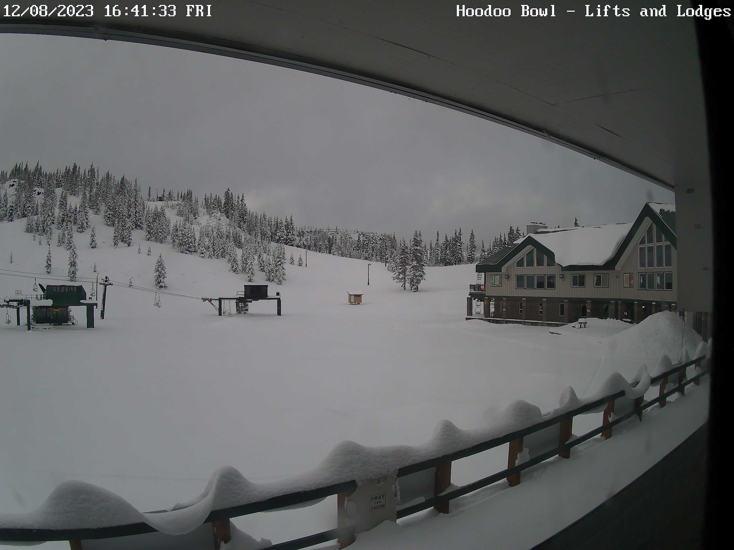
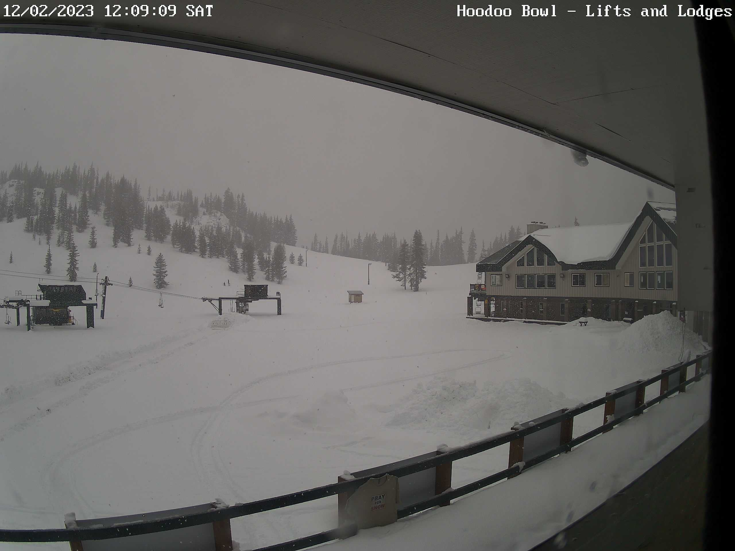
The Cascades
Mon: Okay day to travel as periods of light snow fall near the summits of our mountain passes.
Tue: Passes may end up closing this day. Some of the worse weather conditions possible will be present all day long on Tuesday. Winds will be gusting 40 to 50mph and snowfall rates will be nearing 2 inches per hour, and total snowfall for the entire day will exceed 30 inches at the to of the passes.
Wed: Another rough day for mountain travel; although things should lighten up some during the late morning and afternoon hours. Expect 8 to 12 inches of snow this day.
Thu: 10 to 15 inches of new snow with snow levels around 1000′.
Have a great Monday, and stay safe and healthy out there! 🙂