We still have a few more chilly and mostly dry days ahead before wetter weather finally makes a return.
Highlights
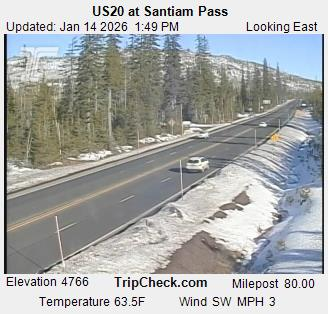
- Very cold tonight. Tonight could be the coldest night so far this winter with lows heading for the lower 20s. Upper teens are possible in the outlying areas near the Coast Range and foothills of the Cascades.
- Watching Monday for a few very cold rain showers.
- Dry Tuesday.
- Light showers and some rain return for Wed – Sun. Yes, the dry weather is coming to an end this week.
Details
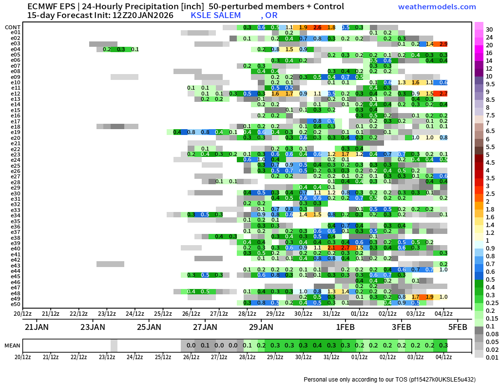
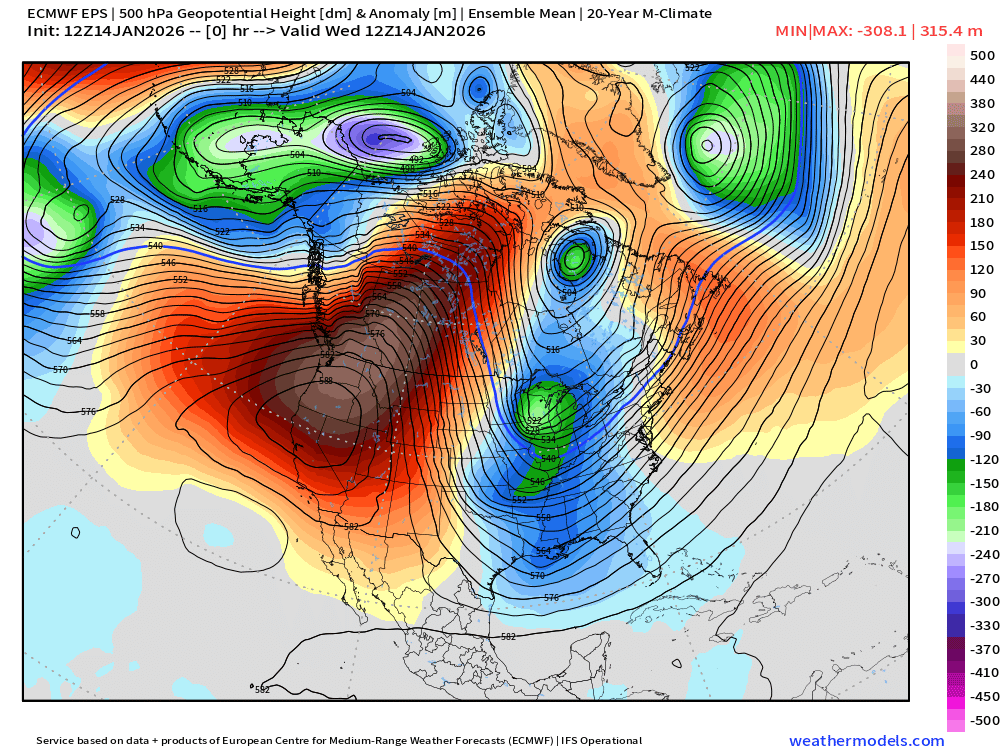
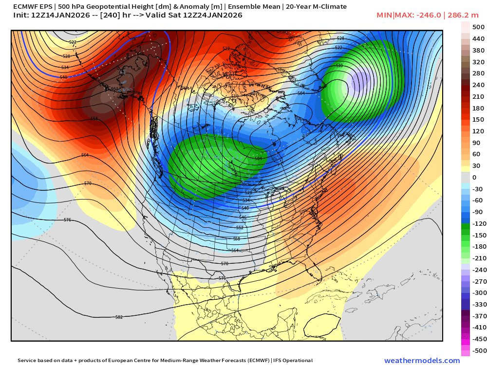
Wet weather finally makes a comeback beginning on Wednesday. At least some rain is expected each day from Wednesday through next Sunday. If you have really enjoyed the dry weather, then enjoy now through Tuesday. This rainfall chart for Salem shows the light rain potential lasting through the first few days of February:
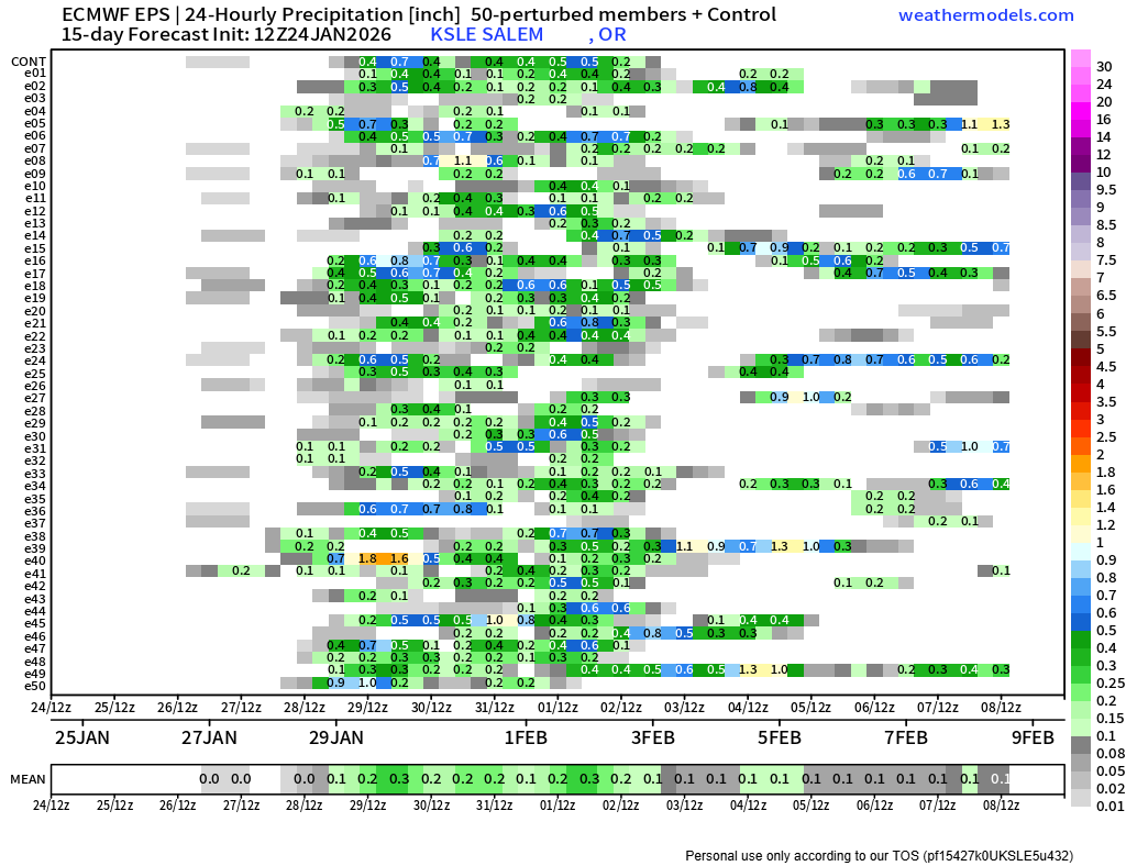
Looking at this and other charts, I see no sign of heavy rains, flooding, strong winds, or huge dumps of mountain snow heading our way. These will be weak storm systems bringing light rain at times, and maybe a few inches of mountain snow, but little more than that.
A few more thoughts
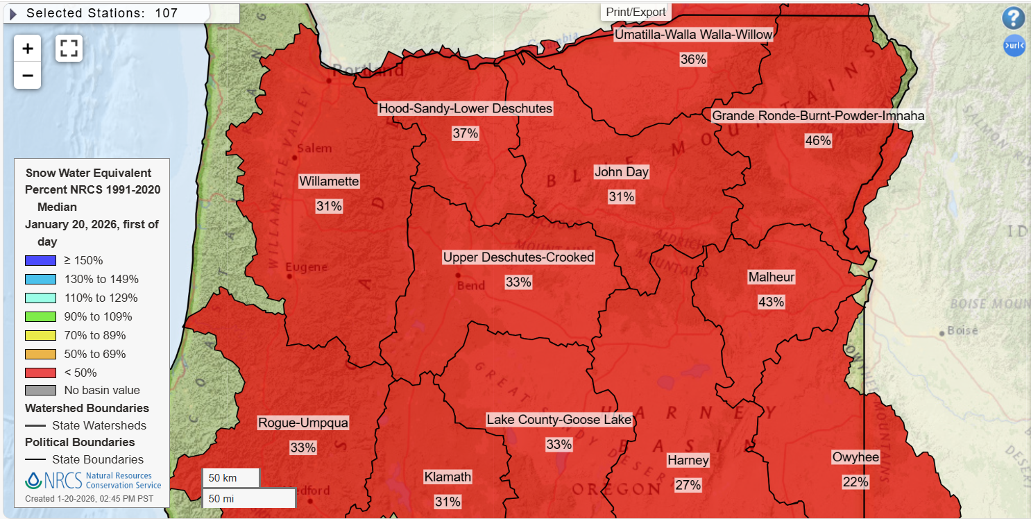
In my previous post I mentioned how every great once in a while we experience a really bad snowpack year. I also mentioned that there is still part of winter and all of spring to make things up a bit. I did a bit of digging around in the records a little, and it was difficult to find very many examples of years with similar mountain snowpack levels (or lack of) which still turned around in the spring.
One example of when things did get better was the winter of 2004/2005. Very poor snowpack conditions persisted through February of that year before finally turning around in March. Too late for ski resorts, but it at least helped the region avoid a major drought that summer.
Ideally, things will improve much sooner, but I’m not holding my breath as there are no signs of a big mountain snow pattern. Just these weak weather systems.
Let’s see what happens.
Stay safe out there and enjoy the cold clear night tonight.