April 12th update

Numerous showers continue for today and tomorrow.  The rest of the Forecast is still on track with one annoying exception, and that’s Saturday.   It now looks as if the rain will creep in during the late afternoon/early evening which is a little bit sooner than I initially anticipated. 

The result:  a shorter “dry day” for all of us to enjoy on Saturday. 

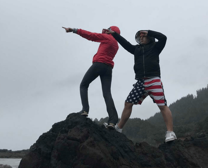
Headed to the coast?  The coast looks to be wet most of the day :/ so no dry break over there.

The Cascades:  Good news here!!  The Cascades will stay dry all day long Saturday.

The rest of the forecast


Sunday – Tuesday:   Looking to stay wet and cool throughout this time frame with more mountain snow for the higher Cascades.

Wednesday (18th):   Next decent shot at a dry day.


One last, but very important thing that should be mentioned…


Happy Birthday to the best sister in the whole world!!!

A rainy update…

Some very heavy showers drifting around today and much more rain on the way.  Check out this very wet extended forecast.  Saturday looks to be the only real dry day for a while.

forecast

Highlights

Wednesday & Thursday:  Very cool for this time of year with plenty of showers.  Small hail, some gusty winds, and a rumble of thunder are all possible with these heavier showers.

Friday:  Some showers around, but the majority of the afternoon and evening will be dry with some nice sun breaks 🙂 

Saturday:  Driest and warmest day all week with a high around 60.

Sunday & Monday:  Wet and cool weather returns.

Windy day ahead!!

April 6th

Saturday: Windy day, gusts in the 40 to 50mph range at times.  Lots of showers too.  Overall a very stormy day!!    Might be a wise decision to secure flower pots, yard decorations, & patio furniture that could blow over Saturday.  Just my friendly advice and warning to you all. 🙂

Sunday: Wet most of the day, still very breezy at times.  Best chance for a dry break will be late in the day.

Monday: Sunniest day out of the next 7, so enjoy if you can!!

Tuesday – Thursday:  Looks to be wet and cool for this time of year.

April 3rd Update

It’s been awhile since I provided my amazing followers with a weather update.  It was nice having a little time off from all my duties & responsibilities, and I hope you all were able to enjoy your spring break as well.  I was able to get away for a few days with a group of pretty incredible friends.  Now break is over, and it’s time to get back into the swing of things!! 😉

Here is your Salem Area Forecast

April showers


Highlights

Wednesday:  Drier the further south you go.  Corvallis & Eugene have a better shot at a dry afternoon versus the Portland area which will remain drippy most of the day.

This weekend:  Very wet both days & potentially very windy Saturday.

Monday:  Best chance at giving us all a dry & mild day!! 

BUSY, BUSY, BUSY…

I’m taking a respite from my busy finals week projects so that I can deliver my faithful & amazing viewers this wonderfully detailed weather update. 😉  Plus I have an early look at what to expect during Spring Break!  🙂

AAA March forecast


Day by day details

Tuesday:  Sunny and dry, but a chilly start to the day.  Winter is trying to hold on with these chilly mornings.

Wednesday:  Dry early morning, but showers will quickly move in for the remainder of the day.

Thursday:  Rain turning to showers, breezy & chilly.  Some showers could be heavy.

Friday & Saturday:  Lots of very cold showers with hail, rumbles of thunder, and even a few wet snowflakes likely both days.  Morning temps will only be in the mid 30s and daytime highs will not make it past the upper 40s.  Very cold for this time of year!! 

Sunday:  Dry, but a cold start to the day. 


Spring Break

Spring Break Forecast

I feel pretty confident that Friday the 30th through Easter Sunday should be on the dryer and milder side which is good news for anyone wanting to participate in outdoor plans that weekend!!  Some rain is still possible, but I don’t see any signs at all of a big rainstorm or washout.  I’ve never tried forecasting this far ahead on here, so we will see how this goes… 😉 Subject to change of course.

Have a great week and stay tuned for more updates on this week’s incoming storms!!! 


A busy week ahead!!

No fancy graphic tonight, but here’s a beautifully written forecast with the details you need to know for our week ahead 😉 

Sunday:  Lots of clouds around with showers.  Some will be very heavy with hail possible and maybe a rumble of thunder.  Highs in the mid 50s.

Monday & Tuesday:  Dry.  Lots of sunshine and a few clouds from time to time.  Highs in the upper 50s Monday and getting close to 60 degrees by Tuesday.  

Wednesday:  Rainy with temps in the 50s.

Thursday:  More rain, heavy at times with temps in the 40s.

Friday & Saturday:  Very chilly with lots of showers.  Hail and a rumble of thunder look possible.  Highs not making it out of the 40s.

Sunday:  Frosty morning with lows right around freezing, dry and “warming up” into the 50s.