The next 7 days

The weather around Salem has been fairly unremarkable lately, but sometimes that’s the best kind of weather. The chilly mornings and warm afternoons have been super nice, and Thursday will keep that trend going. Just for reference, our average high for this time of year is 72°, and our average low temperature is 47°. So our highs have been warmer than normal by quite a bit, but our lows have remained on the cooler side of average. Here’s a few highlights of what to expect over the next seven days.

Thursday: After a real chilly start with lows around 43°. High temperatures should reach close to 80°.

Friday: Rain giving way to a few afternoon showers. Highs in the mid 60s.

Sat: Higher chance for widespread fog due to the extra leftover moisture from the rain Friday. As a result, I expect highs near 70° after starting out in the upper 40s.

Sun – Tue: Mostly sunny. Highs 75 to 80° and lows 42 to 45°.

Other than some rain on Friday, there are no signs of any wild weather or any extended periods of rain. Enjoy the cool mornings and warm afternoons, and stay safe!

Excellent early fall weather!!

The weather lately has just been amazing. Nice sunny afternoons with cool mornings and evenings. Today we are seeing a few extra high clouds which has made it feel a little on the muggier side; otherwise, it’s pretty great!

Monday: Similar to what we’ve seen the past few days. A cool start to the day with lows in the 50s before warming up to near 80°.

Tuesday: A warmer version of Monday. Highs will approach 90°. The big difference between a 90 degree day in late September and a 90 degree day in July is the length of time we are at/above 90. By the time you start to feel the heat Tuesday, the atmosphere will already begin to cool off again thanks to the lower sun angle and the shorter day.

Wednesday: A dry start. I’m fairly confident the day will begin dry; however, a quick moving cold front will hit during the afternoon hours bringing a period of heavier rain and a slight chance of a thunderstorm. Highs near 70 right around noon before the rain moves in cooling us back to near 60 by evening time.

Thursday: Cooler and dry. Fog is possible to begin the day. Lows start off near 50. Highs around 73°.

Friday: A few more showers possible – especially during the first half of the day. Dry evening. Highs in the low 70s.

Next weekend looks great with highs in the mid to upper 70s. The lows will be on the colder side though dipping down to the mid to upper 40s.

Have a great evening and wonderful Monday!!

The week ahead

Greetings again! 🙂 A very short update tonight. The brief period of light rain we are seeing this evening will end tonight leaving us dry come Wednesday morning. This is a weak and fast moving storm, and really it’s just brushing us on it’s way to California.

The rest of this week will be nice and dry. In fact, dry weather is likely through next Tuesday or even next Wednesday (the 25th). Patchy fog some mornings, and lots of warm afternoon sunshine. Lows each morning in will begin in the upper 40s to near 50° and highs will soar into the mid to upper 70s. In my opinion it will be near perfect early fall weather.

The other nice thing is the rain has really brought our wildfire season to a crawl. It’s extremely unlikely we will see any new outbreaks of fires this season, and if you look at this map showing total precipitation over the past 30 days then you will see why it’s so unlikely.

The majority of the Cascades have picked up 2 to 3 inches of rain over the past few weeks with more falling this evening. The fires will certainly continue to burn, but at an incredibly slow rate. Their days are numbered.

Knowing we can enjoy the sunny weather and not fret over new fires is really nice. So take advantage of the beautiful warm afternoons and nice crisp mornings while it lasts, because we all know the rain will return again.

Have a great Wednesday and stay safe!!

Are you ready?

Welcome to September! It’s the start of a new school year, and for me personally, a brand new school too. Needless to say it’s been an extremely busy few weeks, but our fall is approaching with winter not too far behind it, and with these changes comes our most active time of year in the weather department. This means it’s time to saddle up as your number one source of weather alerts and updates for the Salem area, and it’s again time to provide those top notch forecasts you have all come to know and love. 😉 🙂

Between now through March we keep an extra eye out for several specific weather events which tend to have a larger impact on our daily lives. These weather events include: heavy rainstorms, flooding, windstorms, big storms along the coast, mountain snow, and occasionally even snow or ice down here in the valley. It’s also the time of year again where we see more of those sun and shower type of days with downpours with heavy rain and hail.

So, what’s ahead?

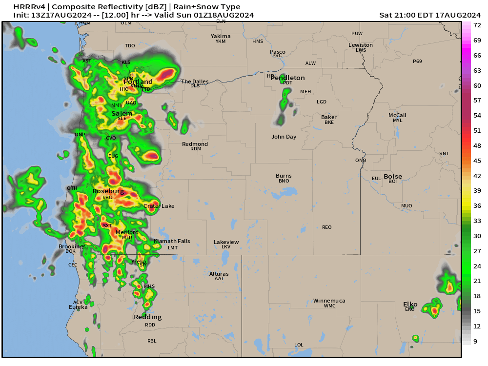
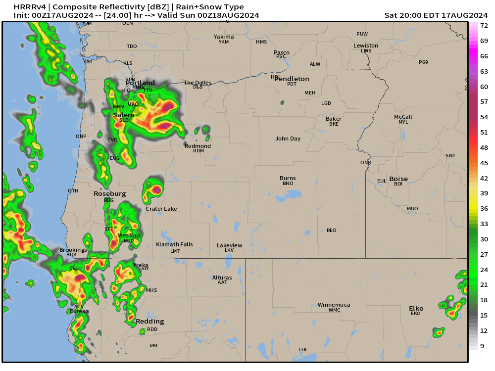
Awwww…. I love the weather this evening! Fresh air is blowing in from the west and the wildfire smoke is clearing out. I recommend you take a moment to step outside as it beats anything showing on TV tonight if you know what I mean. 😉 This evening the winds are picking up, clouds are moving in, and our first “fall storm” of the season is on our doorstep! Exciting times for sure!

Tonight: A fairly narrow, but intense band of rain will move through the valley overnight. Winds could gust to around 25 to even 30mph, and there is a chance for a thunderstorm or two with this line of rain and storms. Bottom line is expect some solid rain while you sleep later tonight.

Wednesday: Our first sunbreak and shower type of day of the fall season. Expect numerous sunbreaks; however, those sunbreaks will help trigger heavier showers and thunderstorms along with the possibility for small hail as the day goes on. As far as temperatures go, highs will top out close to 70°.

Thursday: A mostly dry day with lots of sunbreaks. A couple showers are possible later in the day, especially in the higher elevations around the valley, but the vast majority of this day should be dry with highs in the low 70s.

Friday and Saturday: Partly cloudy, mild, and nice and dry. Highs each day in the mid 70s and lows dipping into the lower 50s.

I plan to update more often, so keep an eye out for new updates both later this week, and as we go through our storm season. I hope each of you can find fun and enjoyment in the various types of weather we see here. My philosophy is we can’t change it, so we might as well enjoy it the best we can.

Enjoy, stay safe, and have a great Wednesday!!

Wild weather part two

Well, last night’s post is already off track a little. Thunderstorms and showers are already rolling up the valley. Clearly, the very unstable atmosphere is doing its thing.

This does NOT change the forecast for later. Stronger storms are still expected to hit later this afternoon and last through the evening. I’ve basically copied and pasted the update I did last night down below. Just wanted to acknowledge that we are having storms earlier than predicted, and that the bigger and more widespread storms are still on track for later today. Updates different from last night’s post are highlighted in green.

At some point between 2pm and 5pm powerful storms will roll up the valley from the south/southeast. Storms could last well through the evening with some weather models hinting at a second round of storms sometime shortly after sunset. Impacts will include gusty winds above 40mph in some locations, heavy rain, localized flooding, and numerous lightning strikes. Hail could be present in these storms too. This is about as close as we can get to a mid west type of storm. Here’s an updated estimated radar image for 6pm today showing more widespread storms rolling through the valley.

By Sunday morning we will see a return to calmer weather. It will be cooler with more clouds at times with a slight chance of a shower, but no thunderstorms or anything wild.

Mon – Sat: Much of this coming week will be dry, but clouds will be more frequent and highs will generally stay in the upper 70s to near 80°. Additionally, there will be a slight chance for showers almost each day. The majority of this coming week will be dry, but the risk for a shower will be present. Best chance for more significant rain will be Thursday and Friday.

Stay safe!

Wild weather

The weather is about to take a turn to the wild and even dangerous side if you will. This will be a quick post, but the threat for intense and possibly even severe thunderstorms here in the Willamette Valley warrants a post.

Details

Saturday will start off like a usual summer day with plenty of sunshine and warm temps. Temperatures should climb into the lower 80s. An upper level low spinning off of our southwestern coast will put into play all the ingredients necessary for strong thunderstorms to form: high moisture content, warm temps, and strong forcing throughout the atmosphere.

At some point between 2pm and 5pm powerful storms will roll up the valley from the south/southeast. Storms could last well through the evening with some weather models hinting at a second round of storms sometime shortly after sunset. Impacts will include gusty winds above 40mph in some locations, heavy rain, localized flooding, and numerous lightning strikes. Hail could be present in these storms too. This is about as close as we can get to a mid west type of storm. Below is the estimated radar for 5pm. Don’t get caught up looking at the exact locations of the storms in this image, but take in the big picture here which is showing very strong storms throughout the Willamette Valley and Cascades Saturday afternoon and evening.

By Sunday morning we will see a return to calmer weather. It will be cooler with more clouds at times with a slight chance of a shower, but no thunderstorms or anything wild.

Mon – Sat: Much of this coming week will be dry, but clouds will be more frequent and highs will generally stay in the upper 70s to near 80°. Additionally, there will be a slight chance for showers almost each day. No all day washouts, and the majority of this coming week will be dry, but the risk for a shower will be present.

Take care, and stay safe Saturday with the storms out there!

Rain update

Now that we are much closer to the forecasted rain event, it appears totals will remain on the lighter side. Again, this goes to show how tough and rare significant rainfall is here in summer. In the previous post, I avoided giving any estimated rainfall totals as there was still too much uncertainty, but now I can say we are looking at maybe a tenth of an inch of rain which is still noteworthy in the dead of summer, but not the big soaking we might have hoped for. Mountains should pick up a little bit more, and the cooler temperatures along with the higher humidity will certainly help with the wildfire efforts.

Details

Mon: Mostly cloudy with light rain showers and sprinkles on and off through the day. Rain will not amount to much, but it will make for a much cooler day and damp at times.

Tue: A mostly cloudy day with more sun as the day goes on. Slight chance for a morning shower, but shower chances will disappear quickly leading to a dry afternoon and evening.

Wed: Warmer and mostly sunny. Highs in the upper 80s to near 90°.

Thu – Sun: Mostly sunny and hot with highs ranging from 94 to 98°. Lows each night should drop down into the lower 60s.

Time will tell how much this “storm” actually helps with the fires currently burning, but we know every little bit helps.