
The rain really came down today at times, especially this afternoon, and the winds also picked up for a couple hours peaking at 32mph around 5pm. Overall, very happy with the forecast thus far. So with one storm down, it’s time for a quick update on the stronger and more dynamic storm number two.
Headlines
- Very stormy Saturday.
- Rainy, but with much calmer winds on Sunday.
- Snowy Cascade passes Sunday through Monday morning.
- Chance for rain Tuesday evening into Wednesday morning; otherwise, mostly dry through Thursday.
Details
THE RAIN: Heavy rain early Saturday morning transitions into heavy showers for the rest of the day. These showers will be intense. Rainfall totals tomorrow will most likely exceed what we saw today with some localized areas even topping an inch of rain tomorrow!
THE WIND: Wind gusts here in the valley ranging from 35 – 45mph, and up to 55mph along the coast and up in the Coast Range.
THUNDERSTORMS: Thunderstorms will accompany this incoming storm system The coast and Coast Range will see the most action, but I fully expect a few storms to make their way across the Willamette Valley as well. These storms are “low topped” meaning the threat for lightning is minimal, but localized downpours, stronger wind gusts than what is being forecasted, and even a funnel cloud are all possibilities with these storms.
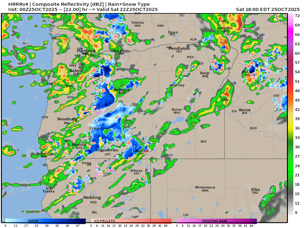
This estimated radar image does a good job of depicting the general pattern tomorrow. The oranges and reds represent the intense downpours many of us will experience Saturday.
Next opportunity for rain looks to happen either Friday (Halloween) or Saturday of next week, but plenty of time to figure those details out.
Stay safe, and enjoy the wild fall weather!
