
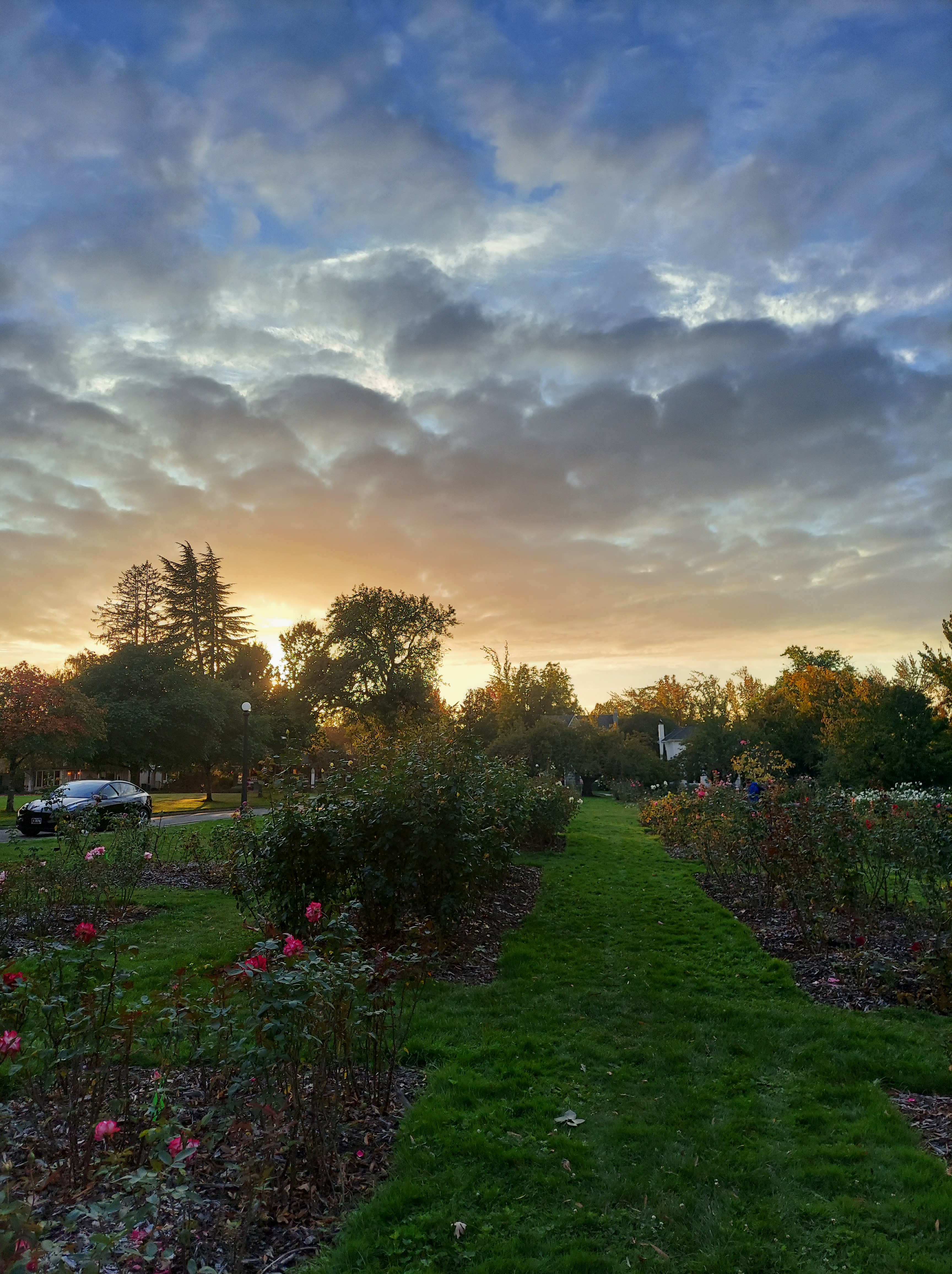
The first few days of this week brought us some really great weather with warm afternoons and plenty of sunshine! The high Tuesday was 81° after a chilly morning low of 43. Excellent outdoor weather for October! Check out this beautiful photo from Bush Park taken earlier today which represents visually just how awesome the weather has been out there!
Like most things, things change, and the mostly cloudy weather today made it very apparent we are moving back into a cooler and soon to be wetter pattern.
Details
Thu: Mostly dry throughout the day. Increasing shower chances, especially after sunset. I haven’t seen much mention of it, but we have a chance for thunderstorms Thursday evening/night which could produce lightning and locally heavy rain. High of 66°
Fri: A few showers at times. High of 64°
Sat: Additional showers and even cooler temperatures. High of 58°.
Sun & Mon: Wet with periods of steadier rain and frequent showers. Chilly too, high temps only in the mid 50s.
The Cascades
It’s definitely getting to be that time of year again where we can no longer assume the passes will remain clear. Sure enough, we have what will be the first widespread snowfall of the season on the way for Sunday night and Monday. Snow levels dip to around 4500 feet which is just low enough to bring snow to the very tops of our Cascade passes. Even if the snow doesn’t stick a whole lot, the snow will be heavy at times with large flakes making for reduced visibility. Be advised if you plan to travel Willamette & Santiam passes, or up Mount Hood Sunday through Monday.
Stay safe and have a great rest of the week!
