
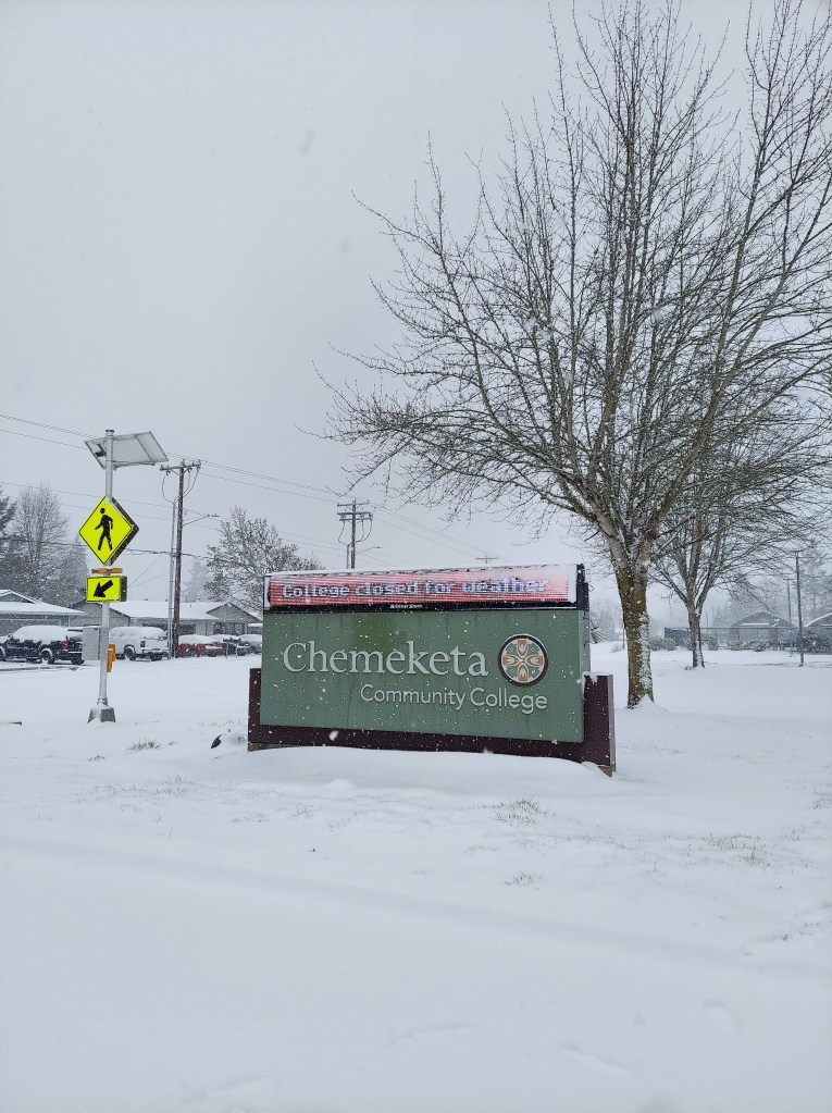
Woo hoo! Snow has been widespread across the entire mid Willamette Valley! It’s clear now that we have either hit the upper end of my forecasted snow totals or surpassed them for this point in our winter storm with more on the way tonight through Friday morning.
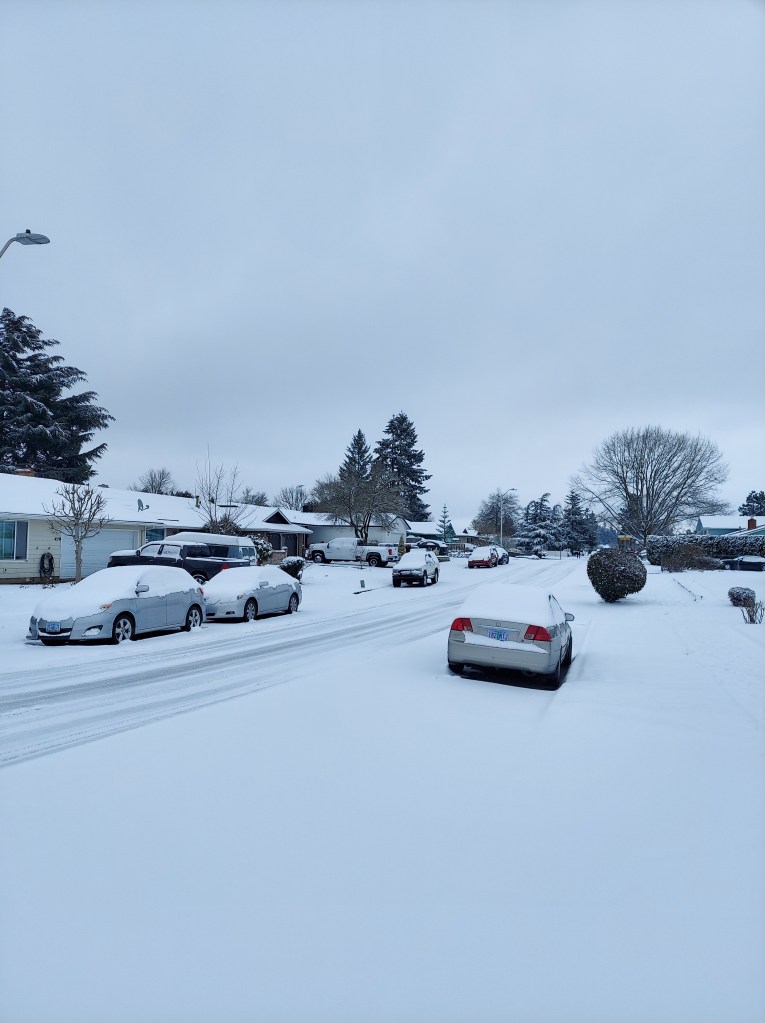
At the moment we are currently in between the rounds of heavier precip, and the “heating of the day” has helped major roads clear up a bit, but conditions go down hill tonight as temperatures drop and as round #2 moves in, so don’t get stuck out there thinking all is well.
What’s ahead?
More snow tonight with freezing rain and sleet mixing in. This second wave of moisture still looks quite “juicy” lol with a solid half inch of melted down precip (or more) with round #2. I currently expect at least a little bit of freezing rain or sleet to mix in tonight before changing back over to all snow; however, models have already been trying to push the cold air out of here too quickly, and so for the moment I’m leaning towards more snow and not as much in the way of ice.
Either way, winds continue to breeze out of the north, and temperatures will be plenty cold enough that whatever falls from the clouds will be frozen or will freeze on contact (freezing rain). My best guess is an additional 2 to 5 inches of snow with some freezing rain. If this storm continues to overperform I could see us surpassing those totals too! There are always little twists and turns with our winter storms here…
Snow will come to an end Friday morning, but with the colder than expected temperatures and increased snowfall, we should plan on road conditions improving very SLOWLY through the day on Friday with side roads remaining in rough shape.
Refreezing Friday night with clearing skies will lead to more issues again on side roads and less traveled streets through early Saturday morning before finally thawing out the rest of the way.
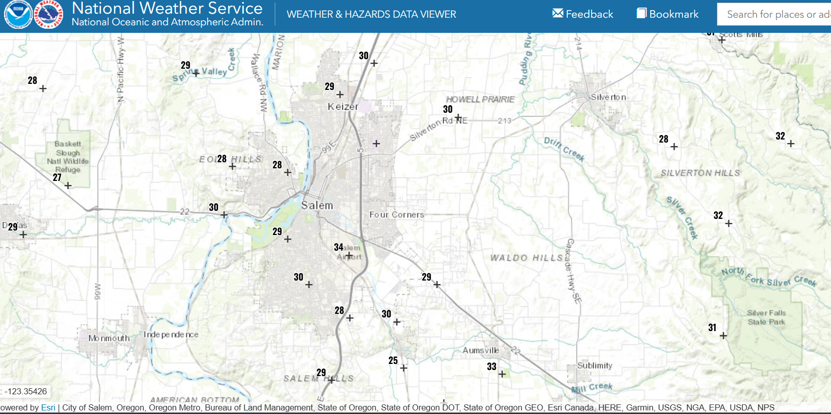
One additional thing I want to mention is how the Salem Airport temperature sensor has been regularly reporting a bit warmer than surrounding stations. Even warmer than weather observation spots in downtown and east along Lancaster Drive. Mark Nelson posted this graphic from the other day showing just how off it’s been and that he has tracked this for a couple years now. He does excellent work for Fox 12 and I appreciate his attention to details and to locations outside the PDX metro if you ever need a good forecaster to watch on TV.
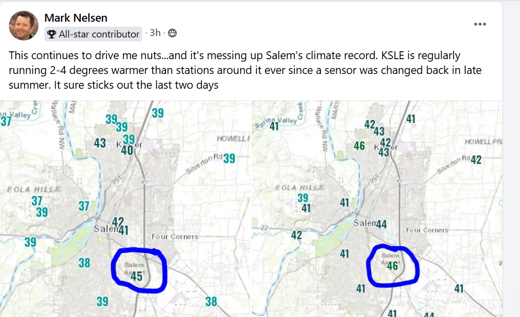
So if you’re curious why your weather sensor at home has you in the upper 20s, but your weather app says otherwise, well now you know! Even right now you can see it is way off compared to the rest of the city and local area sitting at 34° while the rest of us are in the upper 20s to around 30°.
Stay safe, and keep on enjoying the snowy and wintry weather!! 🙂
