
Two days down, with at least 3 (maybe 4) more days of possible slushy wet snow still to go. So far things have gone fairly close to plan. The estimated radar images have actually been doing okay, so I will continue to reference them. Again, just take these with a grain of salt as they do a good job showing the general idea, but they are simply guesses.
This time I thought it would be helpful to show a comparison with the estimated temperature map for the same exact time. Both these maps are for 5am Saturday morning.
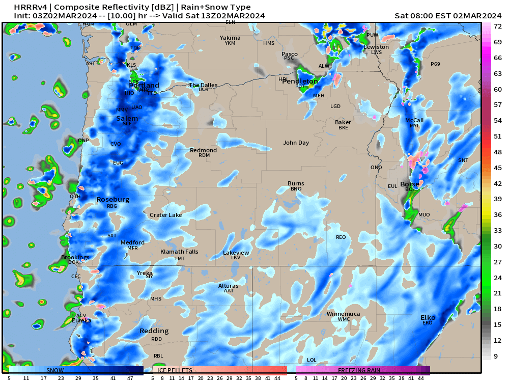
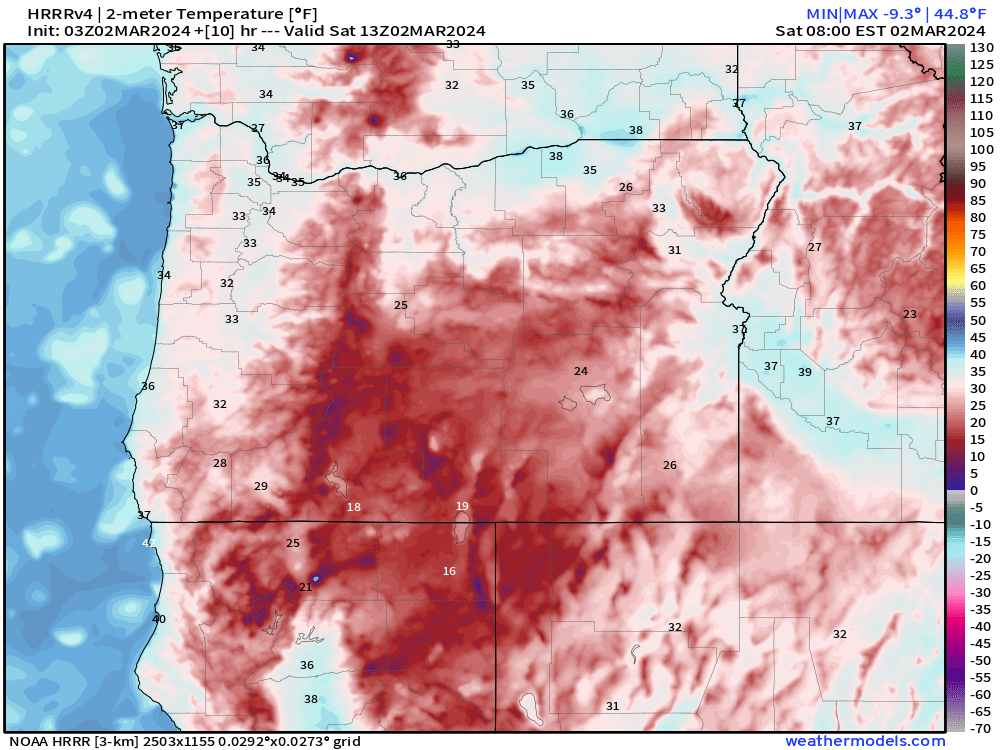
Notice the nice batch of snow moving right over the Willamette Valley with temps 32 to 34°. This would be a couple degrees colder than what we saw this morning which could increase the amount of locations that see accumulating snowfall.
Southerly winds should also be lighter tonight, which in this specific pattern allows colder air to travel down to the surface easier – far different from the January setup when northeasterly winds were bringing us frigid arctic air.
In a nutshell we have a slightly higher chance for a brief dumping of wet snow tonight/early Saturday morning. Still random exactly where the snow accumulates, and even if you do get snow, roads in the valley should be clear by 10am at the latest.
The rest of Saturday will feature showers, sunbreaks, and afternoon downpours which could contain graupel, hail, and rain.
Same story both Sunday and Monday.
Recap
That’s the end of the forecast for tonight. Below is a simple recap of events for my own benefit. It’s nice to reference and see how things turned out in reality versus what was predicted. 🙂
First off, I would say Thursday slightly under delivered. Many locations saw snow fall Thursday morning; however, south winds were just strong enough to keep the lowest part of the valley “too warm” for it to accumulate. I was happy with today’s (Friday’s) outcome. This morning was much closer to being a 50/50 split for the amount of locations receiving or not receiving snow. “Winners” included the higher hills of west and south Salem, the hills just east of Salem near Corban University, Corvallis, and believe it or not, Newport right along the coast. Goes to show how random and difficult it is to predict snowfall when it’s a bunch of random batches of showers roaming around with temperatures so close to freezing.
I hope you all enjoy this weather as much as I do. I love a good snowstorm, but these snow shower setups are also exciting and fun to watch unfold.
Take care and stay safe!
