
We have a more springlike pattern setting up today, and I figured it was well past time for at least a quick update. 🙂
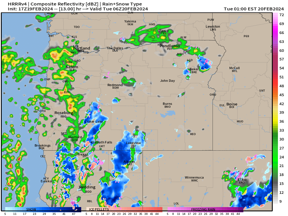
For the remainder of today expect mostly dry weather. This evening heavier rain showers and even some thunderstorms are likely as we are on the northeast side of a strong upper level low. This is a classic summertime thunderstorm pattern, but being that it is only February, I’m not sure how strong the storms will be. Regardless, expect heavier rain at times this evening. Here’s the estimated radar image for 10pm tonight showing some of those stronger storms pushing through the region.
Both Tuesday and Wednesday will be showery with sunbreaks mixed in. Some fairly heavy showers still possible both these days as well.
Thursday should be mostly – if not completely dry with highs in the mid to upper 50s.
Friday & Saturday are looking great for late February. Dry and partly cloudy with highs around 60°.
Next Sunday a powerful cold front moves onshore ushering in cooler weather and bringing heavier rain and lots of mountain snow.
That’s all for now.
Happy President’s Day!
