
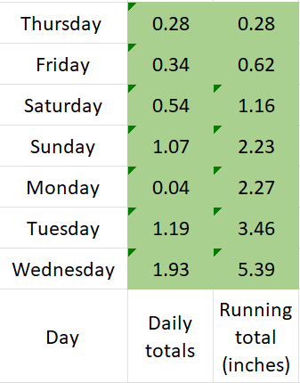
Well we made it through several really rainy days earlier this week, we briefly dried out, and now we are staring down another hefty rainstorm for this weekend. Details in a minute, but first, a quick glance at how we did in terms of total precip during our stretch of rainy weather.
Rainfall was persistent, but rarely was it real heavy, and certainly never for very long which allowed Salem to escape any big flooding issues. There was some flooding of parking lots, a few streets, and a couple parks around town, but nothing significant. In the end it honestly felt like regular rainy Oregon weather, but with a mild touch to it. This past Monday and Tuesday both saw highs in the low 60s here in Salem which is WAY above normal for this time of year!
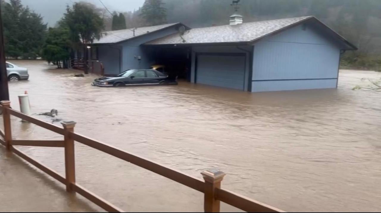
Flooding was more severe out in the Coast Range and along the coast specifically areas near both Tillamook and Seaside.
A typical 7 day stretch this time of year would give us around 1.65″ of rain, so receiving over 5 inches of rain over the same time frame is definitely on the excessive side of things. However, for you “old timers” (this includes me haha), the major floods of February 1996 gave Salem over 8 inches of rain in only 4 days, so it puts our recent deluge into perspective a little.
Here are three pictures from the flooding this past week. One is of some minor street flooding here in Salem, another is of a flooded house near Garibaldi along the coast, and the other is of a landslide which occurred in Portland.


The forecast
Saturday: A cool and cloudy day with rain much of the day. Temps in the upper 30s to low 40s all day long with rain at times. Chilly and rainy – the best of both worlds… 😉
Sunday: Rainy. Expect a full inch plus of rainfall between Saturday and Sunday. Yes, the rain is returning in full force, and it will be on the heavier side at times.
Mon – Wed: Dry. Fog is likely in some areas, especially locations away from the Columbia River Gorge. If we don’t see fog, then expect beautiful sunny skies, and chilly nights. Highs in the upper 40s and lows around freezing.
Thu: Some rain overnight Wednesday will last into Thursday morning. Dry during the afternoon.
Fri: Dry. Highs in the upper 40s and lows around 30 to 32°.
The Cascades
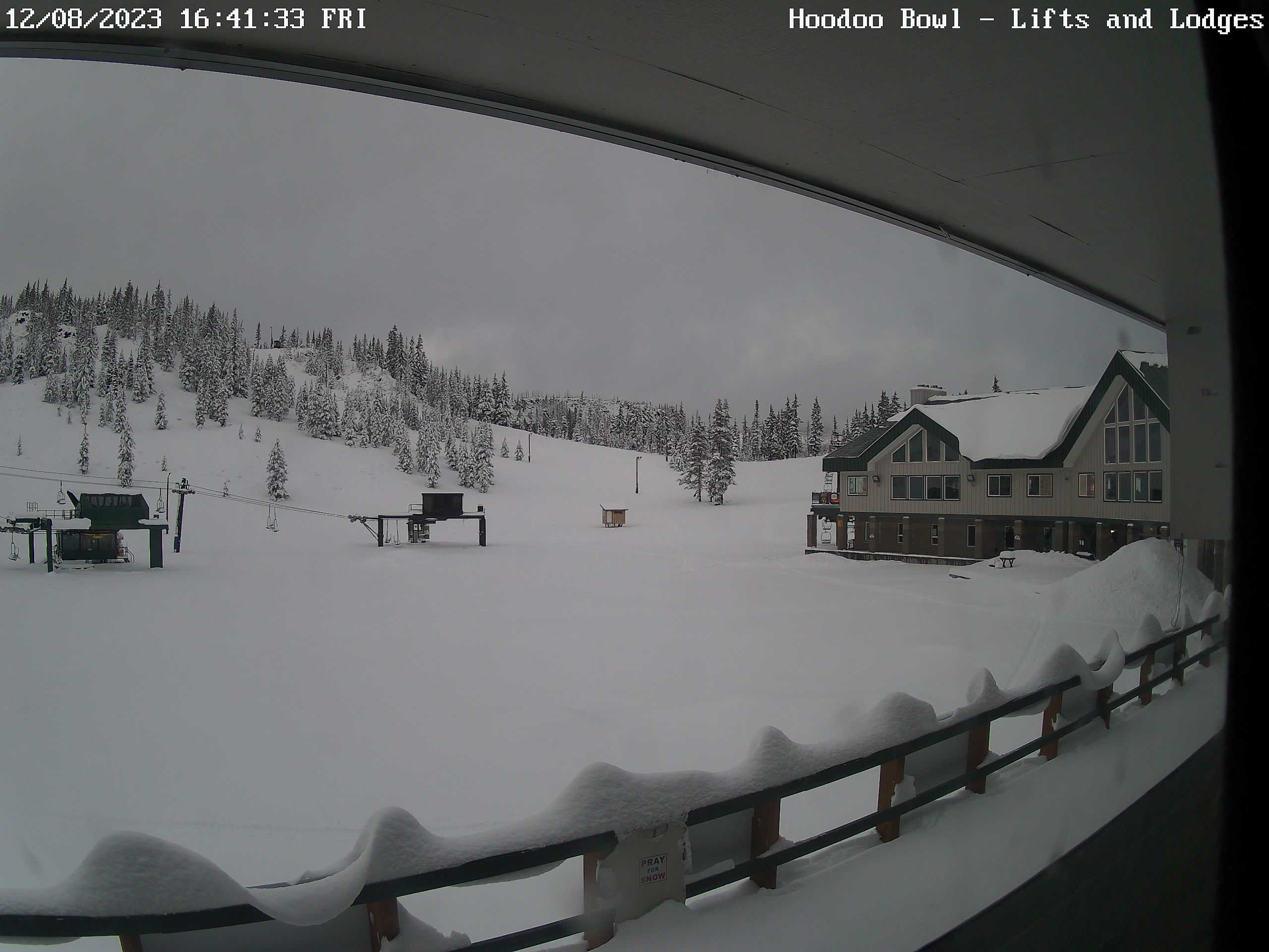
The Cascades and our local ski resorts are having a rough go of it so far. It’s definitely early in the season still, but the warmer rainstorms we keep on seeing are making it tough to hang onto a good snowpack. Hoodoo went from no snow on the ground on November 29th, to 2 feet of snow on December 2nd, back down to an inch this past Wednesday, and now they are back up to having nearly 20 inches! Phew, what a ride, but wait, there’s more haha!! The rain coming in this weekend is associated with a very warm airmass which means more rain in the mountains. It will be interesting to see how much snow survives this incoming storm. I snagged a cam shot showing how it looked late this afternoon.
That’s all for today. Once we get through the storm this weekend I really don’t see anything overly interesting for awhile. Stay safe, and enjoy the weekend! 🙂
