
It’s late, but for those who are still up I have a quick update for you all. Just got home from some very enjoyable family time – don’t miss out on the things that matter 🙂 and it’s looking like we will have yet another brush with winter Friday morning. Right now as I write this, very cold air up in the atmosphere is approaching the coastline of Oregon and will be over us by 3 or 4AM. Heavy showers will accompany this cold air and the heavy precip will drag that cold air and consequently the snow level down to the valley floor in some locations. We have seen this time and time again over the past 3 or 4 weeks now. Each time someone in the Willamette Valley scores some heavy wet snow while other areas got nothing.
Highlights
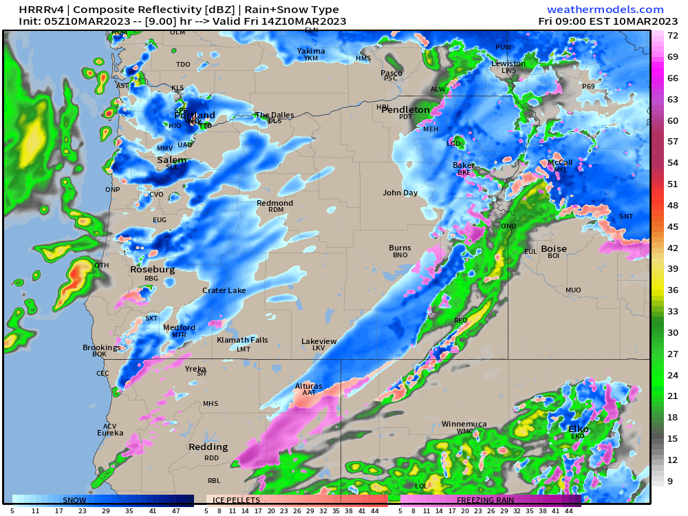
I expect lots of snow in the air Friday morning with accumulating snow in locations which see heavier snow showers. Anyone could see a slushy 1 to 3 inches of snow with more the higher up in elevation you go. Roads will be just fine by 10 or 11AM at the very latest even for areas which receive snowfall as we will transition right back into our regular routine of sunbreaks and showers. I think this simulated radar image for 6AM shows my thoughts the best with hit and miss areas of heavy wet snow and areas in between that see very little at all.
Tons of snow for the Cascades and of course the Coast Range too.
Saturday will feature more dry time than wet with lots of sunbreaks and only a few showers.
Expect more rain on Sunday.
Okay, take care!
