
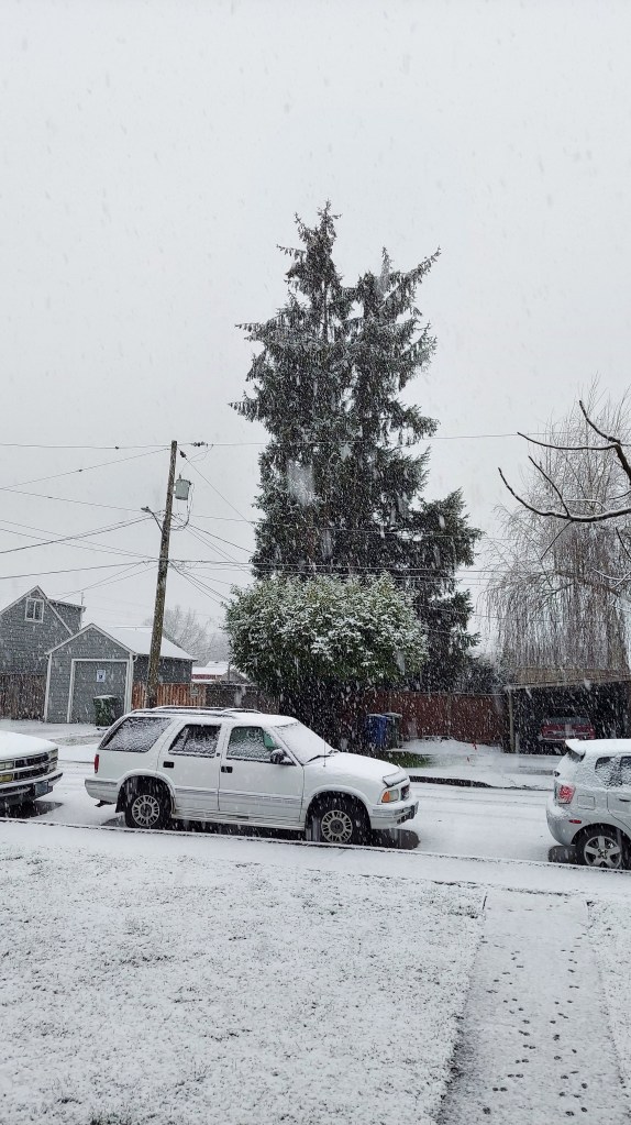
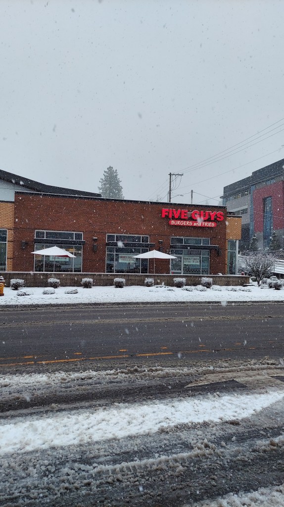
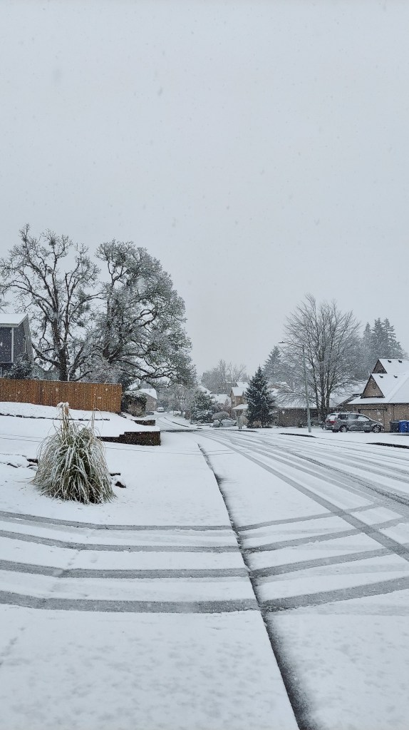
Lots of beautiful pics from around town of the snow this morning. Very wintry out there with heavy snow falling early this morning. Here are a few snowy pics from earlier today.


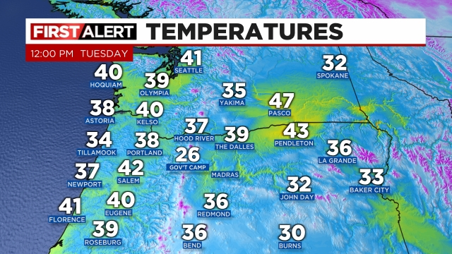
Do you realize our average high temps for this time of year are in the mid 50s? We are running way below average. Here are regional temps as of noon.
Forecast
The rest of today and tonight: Snow showers will pick up this afternoon and early evening. Anyone could see another coating of snow on all surfaces at all elevations (even the valley floor) with this final band of enhanced snow showers. Locations on the east side of the valley like Stayton, Sublimity, Turner etc. stand the highest chance of seeing a fresh dusting of snow before we dry out. Lows tonight are headed for the lower 20s which means any location with snow or slush on the roads still will freeze solid.
Wednesday: We start off frozen and cold, icy in places, but dry. Highs in the mid 40s.
Thursday: A cold rain with lots of mountain snow. 4 to 8 inches of snow in the Cascades above 1500′. 2 to 5 inches of new snow in the Coast Range. Highs in Salem in the mid 40s.
Friday: A chilly morning with lows right around freezing. At this time not anticipating big problems this day, but I’ll watch it closely. A batch of showers this morning could spell issues again.
Saturday: This looks to be our next real shot at widespread snowfall. This is several days away still; however, it has potential to deliver, so I’m watching it closely.
Okay stay safe out there!
