
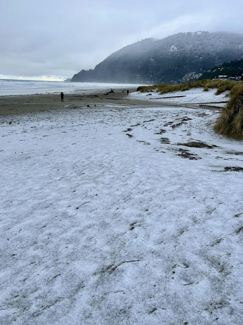
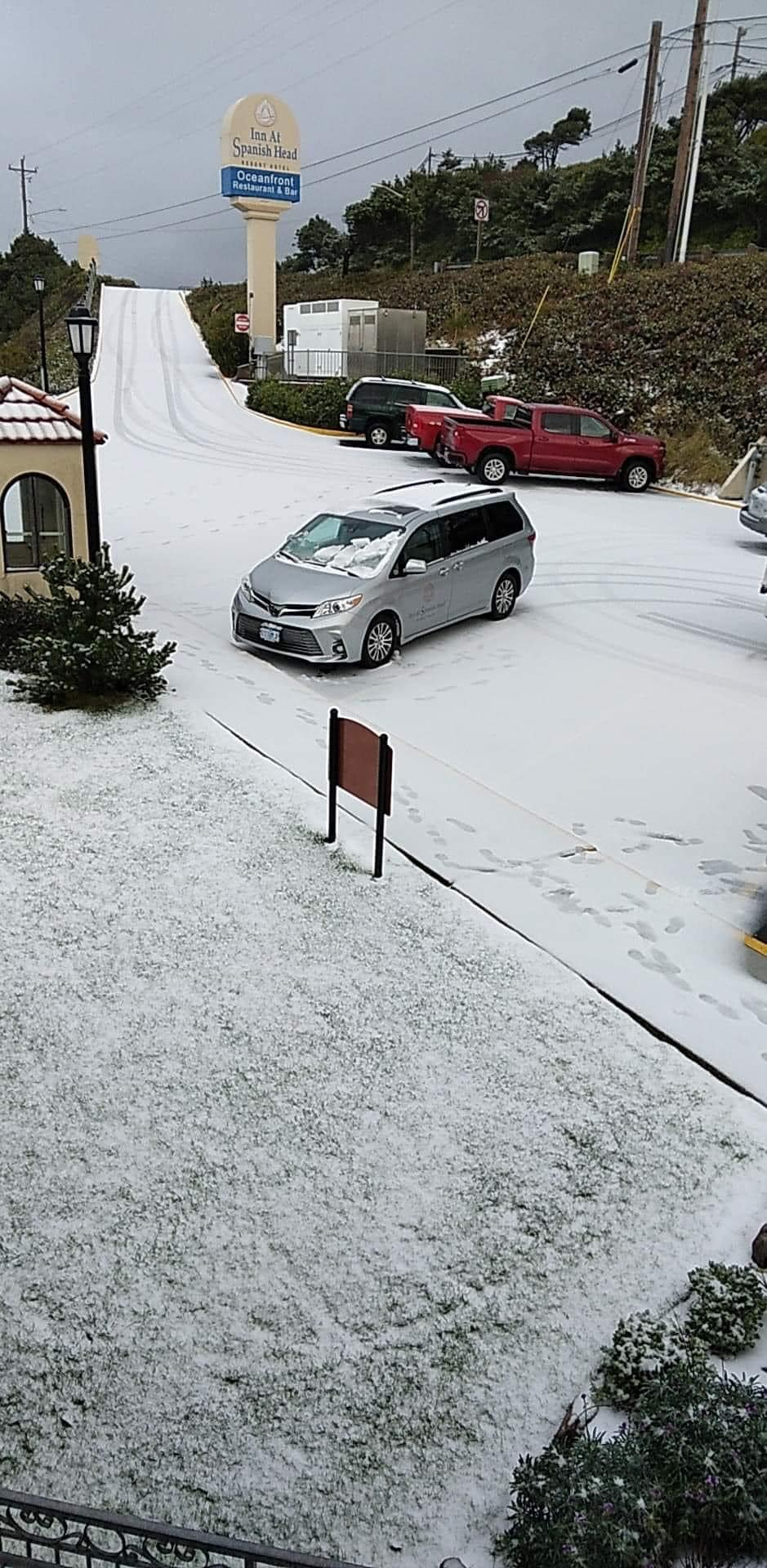
First things first, a few pics from the graupel and snow showers we had Thursday haha. I know that’s not what you’re on here for, but they are fun pics and they help me document our weather events. 🙂 Here’s a pic of snow sticking right along the ocean, and the second picture shows snow covering surfaces in Lincoln City at the Inn at the Spanish Head.
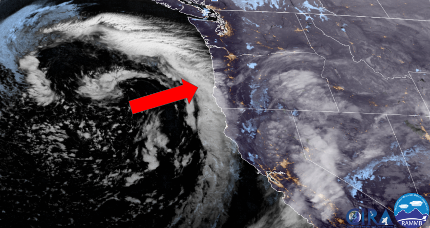
Okay, time for the forecast. It’s trickier than our usual snow forecasts and well, our usual are already pretty tricky lol… We have cool air in place with more moving in through the gorge tonight. Next there is a system spinning off the coast of northern California. I’ve pointed out the main energy band which will eventually swing up our way. This band of precip will bring rain and snow to the northern Willamette Valley, but more on that below.
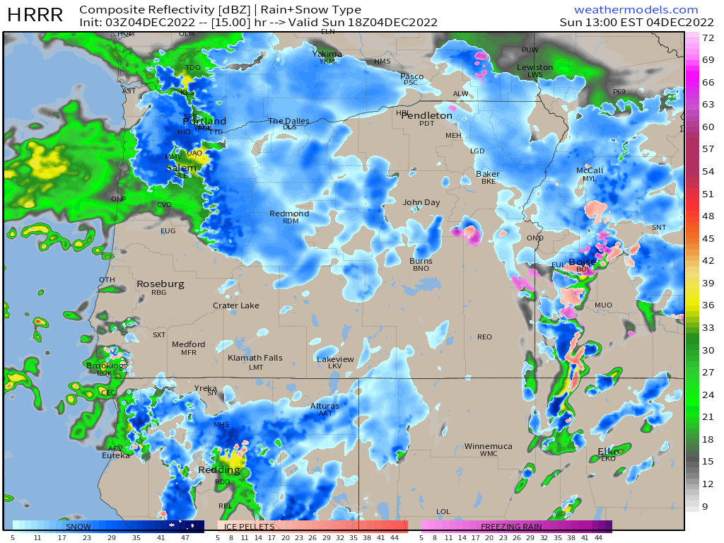
This next image illustrates just how difficult the snow prediction is with this storm. Notice how it shows snow falling west of Salem in cities like Independence, Monmouth, and Dallas while rain falls east of Salem in locations like Stayton and Sublimity. This of course puts Salem right on the line. Meanwhile a band of snow stretches across the Portland metro area, so you can see why this is so tricky. This makes the snow forecast from last Christmas look so easy lol…
The next two things to consider with this storm are the temperatures, and the exact location of where the heaviest precipitation sets up. Temps are marginal with this storm, and in order to get snow down to the valley floor Sunday we are going to need help from steady moderate to heavy precip. Steady precip allows for the atmosphere to cool more than it might typically do through a process known as “evaporative cooling.” Evaporative cooling is what lead to our “surprise” snow event here in Salem back in January 2021. Often times temps can drop from the upper 30s down to as low as 31 or 32 degrees within an hour or two. A similar thing occurred Thursday when we saw our heavy graupel and snow shower.
What you need to know
A rain/snow mix will likely start during the early morning hours (6 to 9AM). Depending on how heavy the precip is, it could turn to snow fairly quickly or even start out as snow. This scenario really favors the western Willamette Valley as well as locations north closer to the gorge; however, anyone in the valley could end up with some snow. This will be an extremely close call (again, reference the image above), but it’s time to make a guess, so right now plan on just a little bit of snow falling across the region. Just don’t be surprised if the snow is either short lived, and or ends up staying as a very cold rain or wet snow mix that doesn’t actually stick.
Snow will fall across the Cascades passes as well as through the gorge, so plan on snow covered highways in those regions.
Phew! Time to just see what happens… One of these days I’m hoping we will actually see a decently easy snow forecast, but this is not it. Happy Sunday!!
