
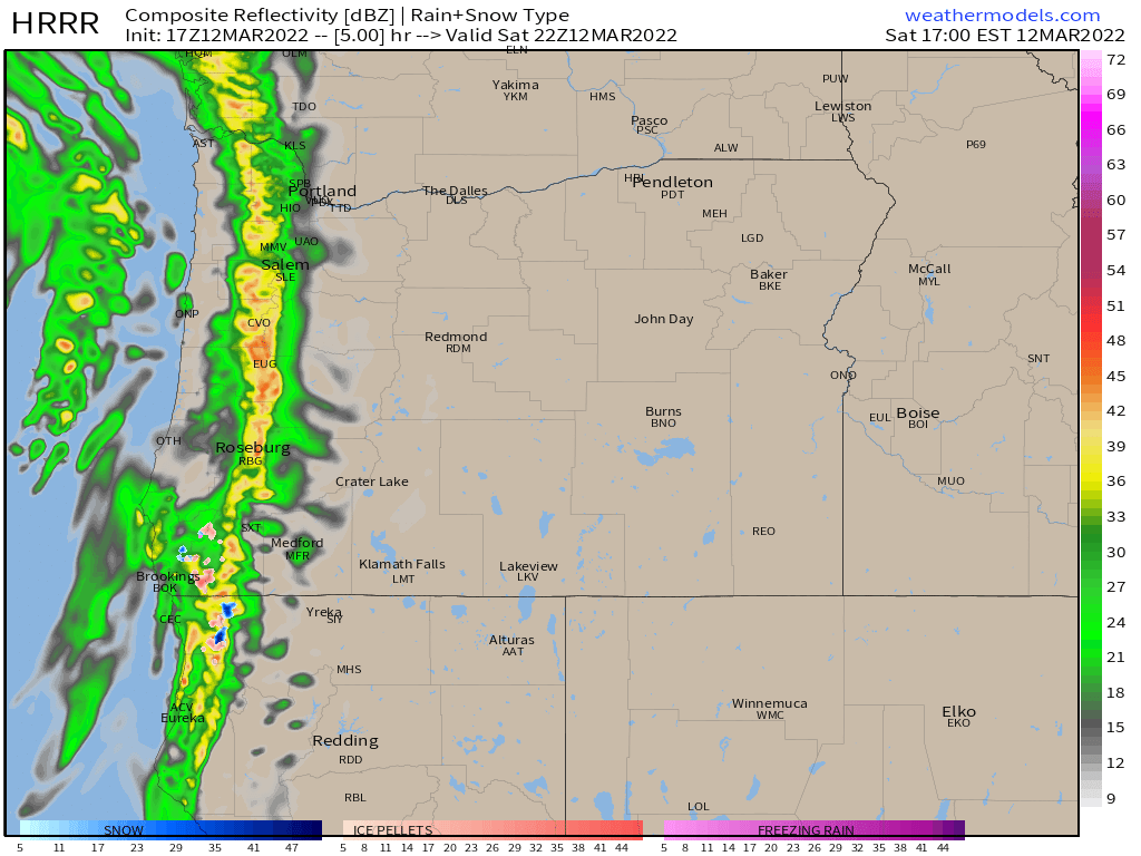
Right now (just before 11AM Saturday) as I type this up, it’s actually incredibly sunny outside with virtually no clouds in sight; however, things will change quickly this afternoon as a strong cold front races inland. The estimated radar for 2PM today shows a rather heavy band of rain moving right across the region at that time which will end our nice dry weather.
Here’s a link to the satellite loop which is also doing a good job of tracking our incoming system.
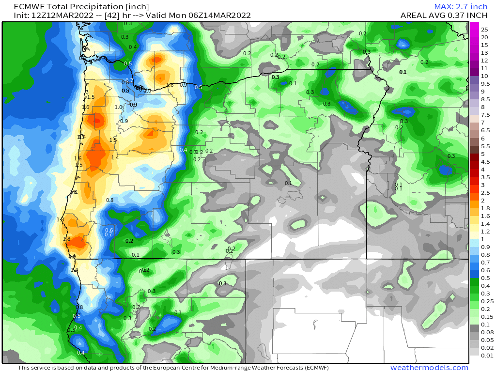
Notice totals over an inch around Corvallis and of course along the coast. Again, things will change QUICKLY here in the next few hours as we plung back into a very stormy pattern.
Next check out the snowfall totals for today and Sunday.
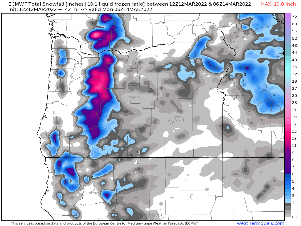
Plenty of new snow up in the Cascades with about 10 to 15 inches falling above 4000′. Hazardous travel conditions up there from 4/5PM today through most of the day tomorrow. Great news for the snowpack though!
There you have it. A sudden switch to stormy weather approaches. This is the first storm in a long, long series of storms, so I hope you enjoyed the dry weather while it has lasted.
Take care and happy Saturday!!
