It was a wild ride through December. I’ve got a timeline of the major events followed by a look at how we stacked up in the precip and temp departments.
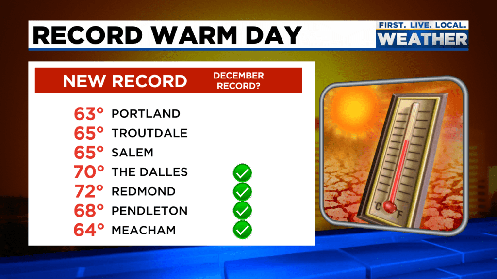
Believe it or not, we had a high of 65° the very first day of the month. This image from Fox 12 Oregon shows a compilation of just some of the record high temps set on December 1st.
Nothing else interesting happened the first 10 days of December. We gradually cooled down and the snowpack very slowly began to build. Then on the 11th and 12th a powerful storm rolled in bringing gusty winds (a peak gust of 47mph to Salem), heavy rain, and mountain snow – tons of it. Within 4 days Hoodoo went from just a few inches of snow to almost 40!! Snow also fell down into the Coast Range.
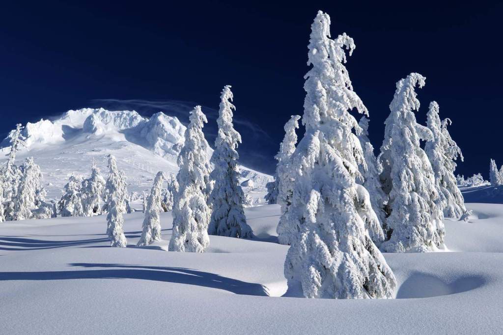
Heavy rain showers lasted through the 13th. Skies cleared up and temps dropped quickly that night leading to widespread black ice Tuesday morning (the 14th). Many area schools had a 2 hour delay that day due to the icy roads. The picture below shows fresh snowfall up at Mount Hood after the storm had passed.
A second powerful and extremely dynamic storm system moved in on the 18th. Heavy precip on the cold side of the front dragged the snow level down to the valley floor in the Portland metro area dropping a couple of slushy inches of snow. Salem missed out on the snow and saw nothing more than a cold rain for this storm. Heavy rain continued through the 20th with a grand total of 4.78″ of rain in only 3 days! Lots of localized flooding along ditches, small streams and creeks.
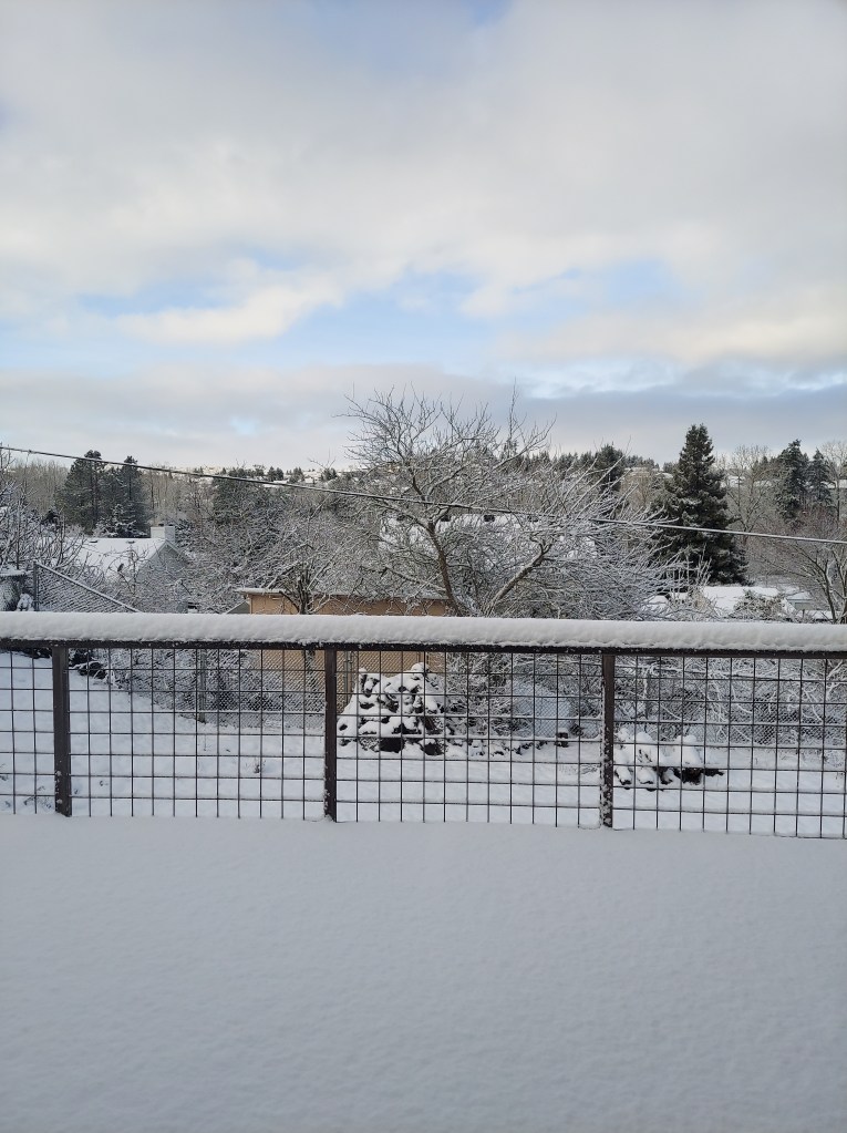
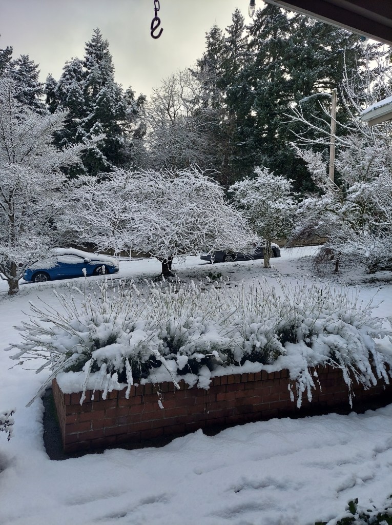
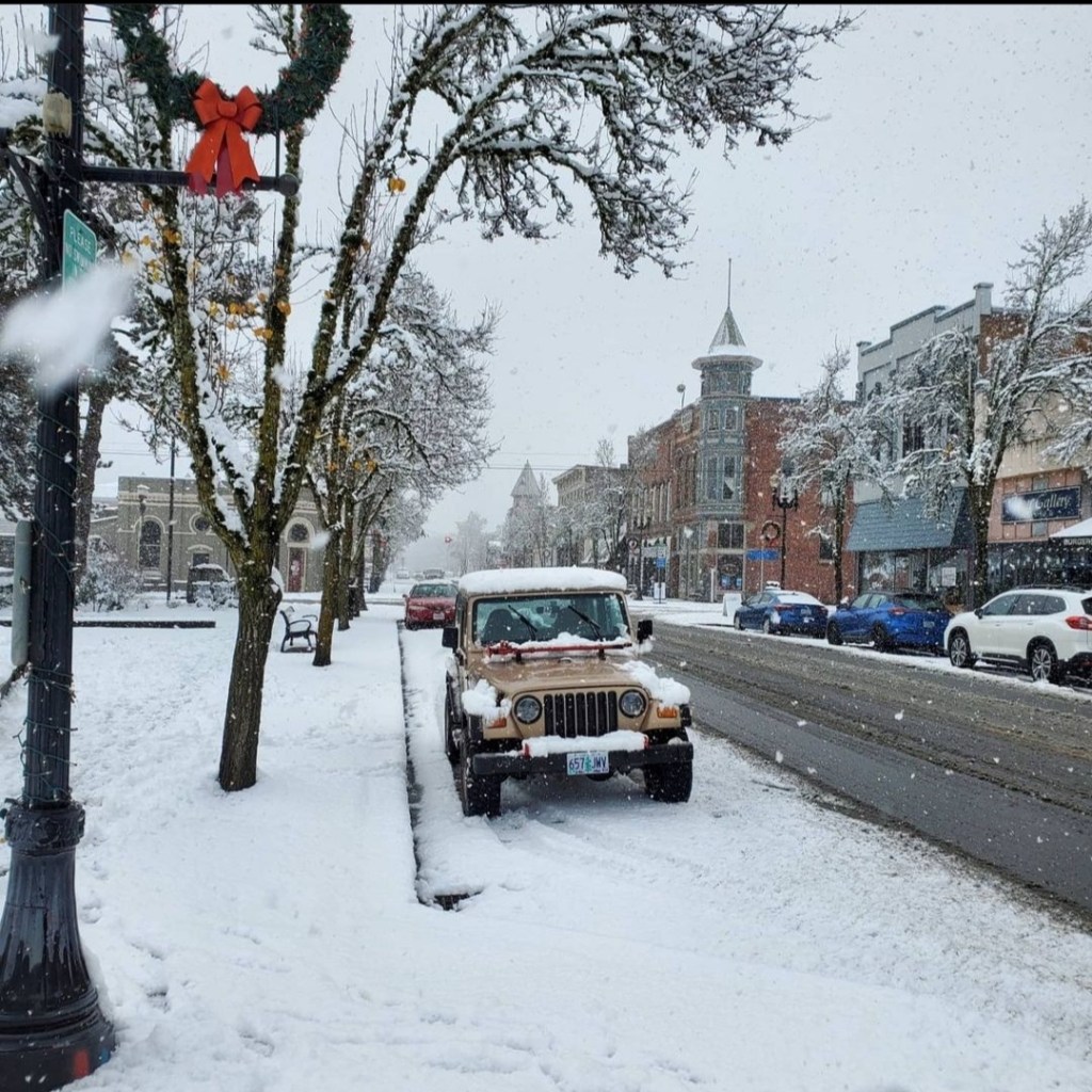
Cold and snow dominated the final 8 days of the month. A storm system dropped straight down from Canada bringing with it cold temperatures and snow showers. Neighborhoods around Salem picked up anywhere from 5 to 10 inches over a 3 day span. This cold snap gave Salem 4 days in a row with highs only reaching the 30s. A couple of pictures of the snow cover over at Western Oregon University in Monmouth and some neighborhoods in Salem.
A heavy snow shower rolls through Independence Oregon Dec 26th, 2021.
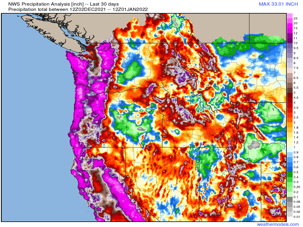
Salem ended the month with 9.90″ of precip which is well above our average rainfall for December. This made it one of the rainiest Decembers in years coming in at 142% of normal for the month! This map shows total precip in inches for December across the region.
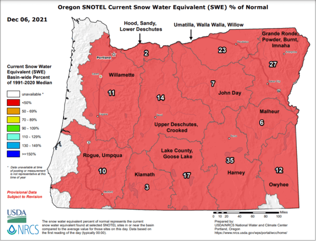
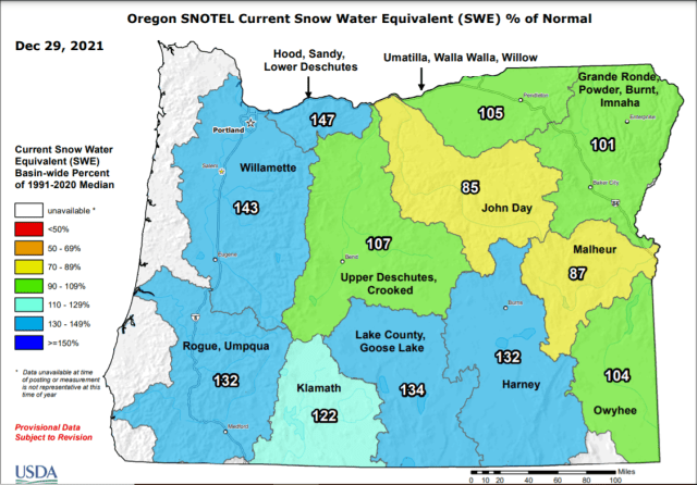
From looking at this you can see it was a great month for the entire west coast in terms of rainfall/precip. The graphic below shows just how far our snowpack came over the month of December.
Our warmest temp for the month was 65° on the 1st, and our coldest temp was 26° on the 31st. Salem only dropped to or below freezing 6 days this month even with the cold snap. Overall we ended December 2021 just 0.8° above average.
That officially wraps up December 2021. It was wild, but we made it! Things have really calmed down for now and they look to stay calm for the foreseeable future. Expect a small chance for just a couple of light rain showers both Tue & Wed. Thursday could end up being a little bit wetter during the morning hours, but then we dry out for Friday through at least next Monday. No sign of any big storms or snowy/icy weather.

