
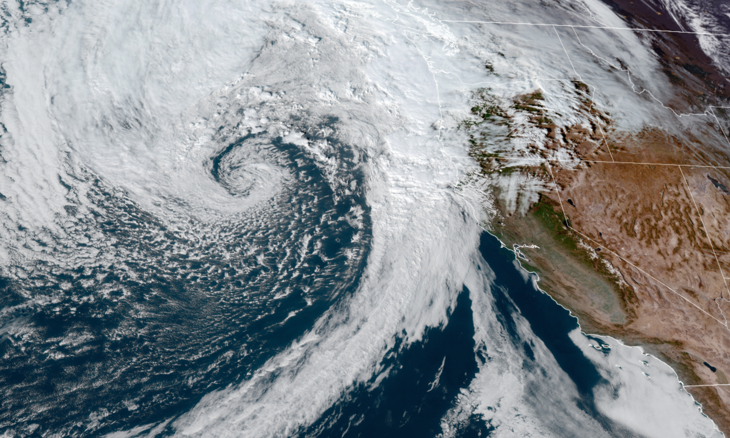
We have a nice fall like storm approaching our coastline tonight, and an overall very active and exciting weather pattern shaping up for the next several days. Here’s a satellite image from late this afternoon showing the looming storm.
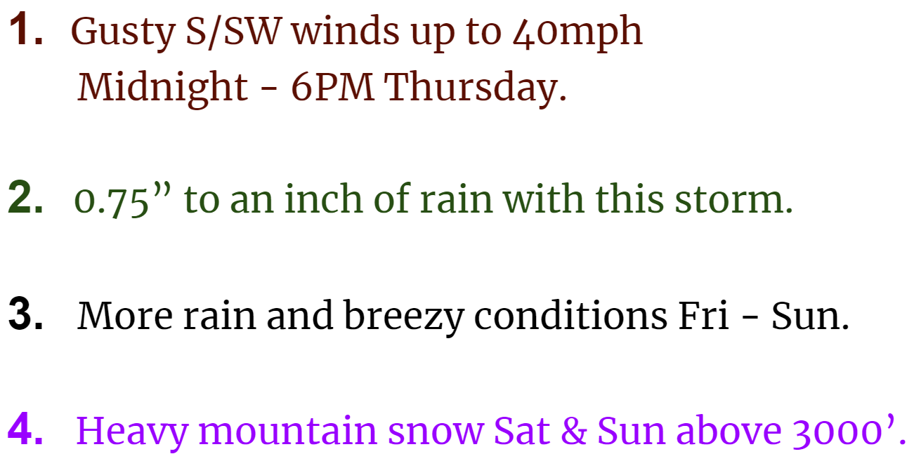
Impacts here in the mid Willamette Valley
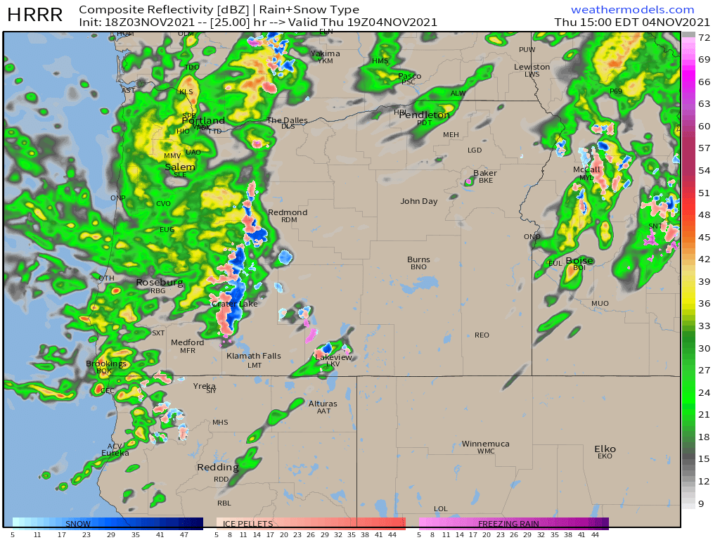
Below is an estimated radar image for around noon tomorrow showing the heavy showers expected on Thursday.
EXTENDED FORECAST
Thursday: Quite stormy with the gusty winds and numerous showers.
Friday: Showers. Dry and maybe even partly sunny near the end of the day. Will cool off quickly once the sun goes down.
Saturday: Much cooler with steady rainfall. Breezy afternoon.
Monday: This day could end up being mostly dry.
Tuesday: More rain and wind arrives and will likely last through Wed also.
I’ve got a nice little October recap in the works. Looks to stay active for awhile, so anticipate more updates in the coming days.
Take care, be extra kind, and stay safe!!
