
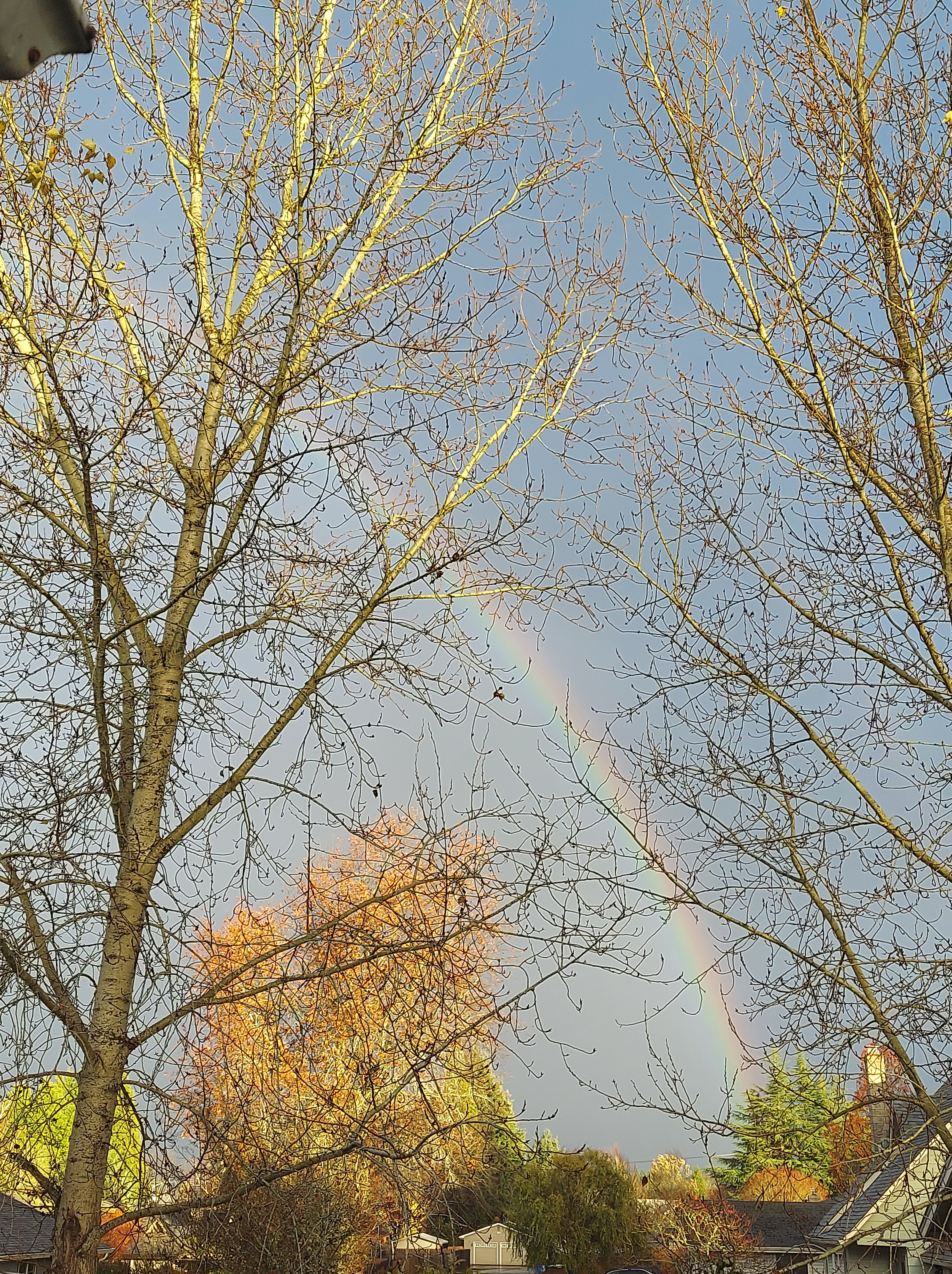
Another stormy day out there today. Winds have not been too crazy with gusts no higher than 30 -35mph, but plenty of rain. As I write this we have a band of rain rolling through with a peak of sun making for a pretty neat to scene. 🙂
Wednesday & Thursday: Showers & sunbreaks, breezy at times with brief downpours. Maybe even a thundershower or two with some small hail mixed in. Wednesday will be the wetter of the two days.
The Cascades
Snow levels fall down below pass level late tonight. 10 – 15 inches of new snow for ski resorts by the time Friday rolls around. Since I don’t have my own graphics department lol, I borrowed this from Mark Nelson at Fox 12 Oregon. You can see just how healthy the snowpack is compared to the past 10 years for this early in the season.

Friday & Saturday both look dry, so a nice two day break from the rain before another system rolls in on Sunday. I should note there will be a fair amount of fog and clouds on these two dry days – not exactly a super sunny period, but dry nevertheless.
Thanksgiving week is the week after (already!!!) and it’s looking stormy and wet with more mountain snow & valley rain.
