
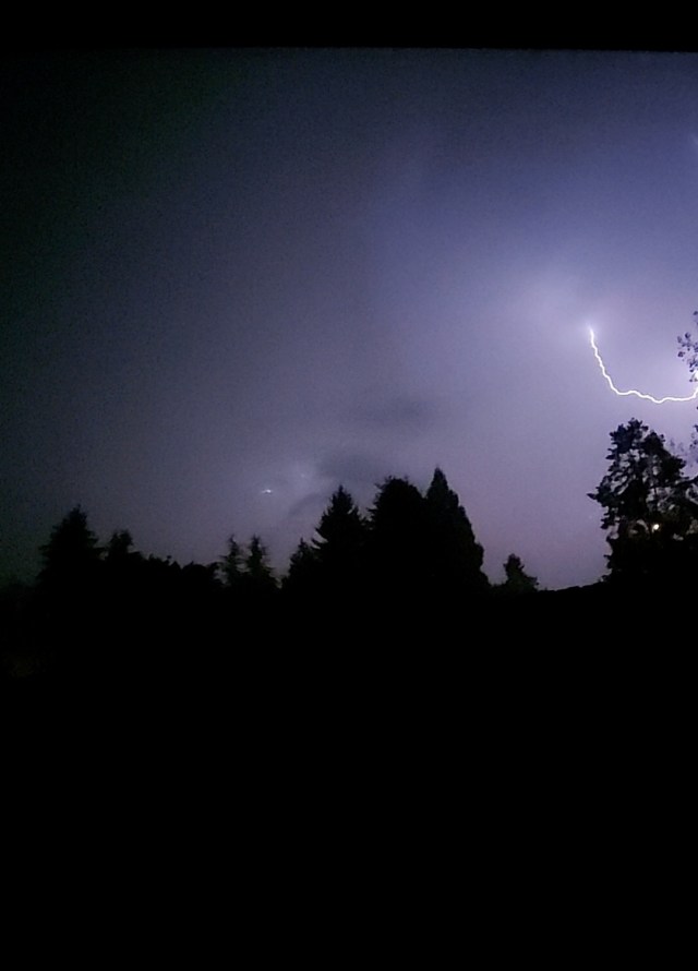
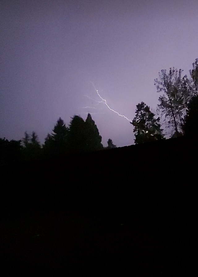
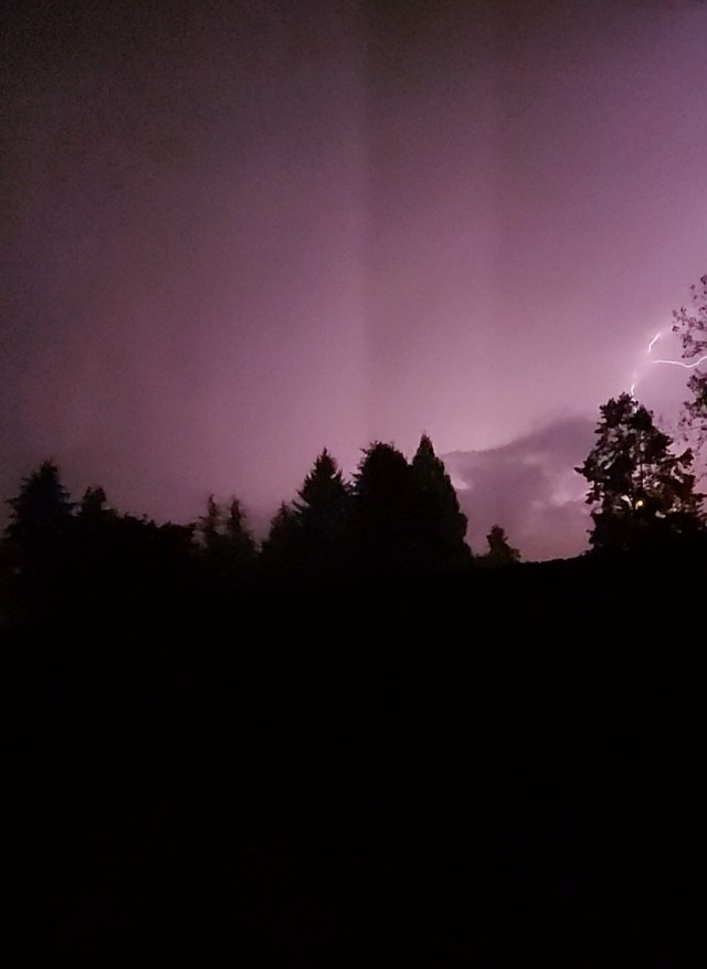
It’s been a few day now, but those were some wild storms the other night, wouldn’t you agree? Many locations around Salem picked up over an inch of rain that Thursday night. I picked up 1.18″ at our south Salem home. Much of that falling within 30 min!! The other exciting part of those storms was the amount of lightning produced. Here are a few images I caught on video.
Looking forward we have a couple of nice dry days before rains move back into the region on Wed. Here’s your forecast for the week ahead:

Highlights
1.) Overall fairly high confidence with the forecast this week. Wed may initially start off dry, but it won’t last long as a steady rain and breezy winds move in. In fact Wednesday is looking like quite the soaking with anywhere from half an inch to an inch of rain expected. More good news for the fires continuing to burn up in the Cascades.
2.) Thu & Fri: Showers and sunbreaks. Chance for a thundershower Thursday, but this will be a more typical brief downpour, maybe a rumble of thunder, and small hail type of thundershower. Nothing like the storms we just had.
3.) Sat: An isolated shower or two, but overall mostly dry.
4.) Looking further out it appears September will end on a dry & warm note with Sunday through at least Wednesday of the following week looking sunny, mild, and dry!
