
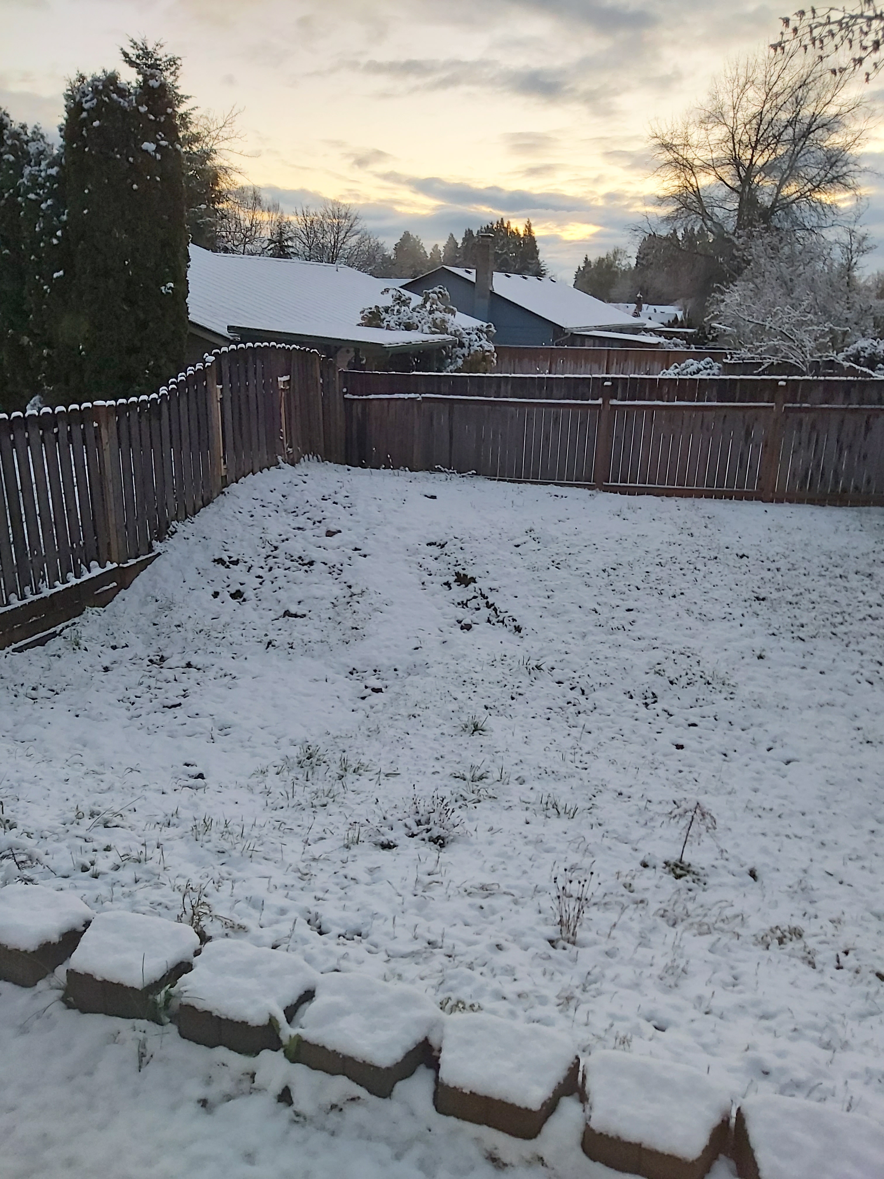
A quick Saturday afternoon update. It appears as though most everyone received at least a little bit of slush last night and some of us had a solid dusting of snow. Here’s what our backyard looked like in south Salem around 7:10 AM.
For the remainder of the day we will see more cold rain showers and sunbreaks with plenty of ice pellets and snow mixed in at times, and maybe even a flash of lightning. In fact there have already a few strikes down south of Salem. Here’s a link to the latest radar image:

Tonight: Anyone could see an isolated snow shower or two. The other thing to watch for is icy roads. With showers falling today and colder air moving in I expect icy roads across the Willamette Valley this evening, so use caution while traveling tonight.
Sunday: Other than some isolated spots of snow, the day should end up mostly dry with plenty of sun. Slight chance for an evening shower. Highs close to 50 with a chilly breeze.
Monday: Temps will start out in the mid 20s which is cold enough to possibly set some new record lows, but it’s mid March which means even with the cold start we will still warm up into the upper 50s by the afternoon.
