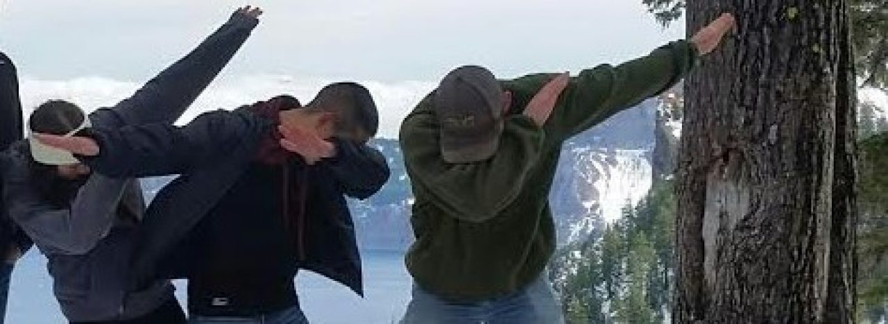
I don’t care if I have used this picture a hundred times it’s still one of my favorites, and it pretty accurately depicts how I’m feeling this morning with the potential for lots of cold and snowy weather here in western Oregon.
First we need to get through a couple of very wet storm systems.
Friday: Rainy weather should arrive during the later part of the afternoon. Wind gusts of 30 to close to 40mph are possible Friday and into early Saturday morning.
Saturday: Periods of rain and breezy.
Sunday: More rain and wind. Very stormy.
Rainfall totals for the weekend look to be around 1.5”.
CASCADES: Incredibly snowy above 3000′ with 2 – 4 feet of snow now through Monday. We are making up snowfall totals up there like no one’s business, and it’s awesome to see!!!
Okay, now the fun part. I’m still going to be skimpy on details because, well one because I have been busy with the job that actually pays the bills, and two we all know how tricky it is to forecast snow accurately around here specifically several days out.
Main take aways
High confidence we:
1.) See at least some amount of accumulating snow. I know we all want more details than that, but like I said, details and amounts are very tricky to predict this far out.
2.) At least 1 snow day for school faculty (and students). I’m going to be in deep with the sharks if this one doesn’t happen lol… 😉
3.) The coldest air of the winter.
Some things I’m watching (lower confidence)
1.) A major snowstorm for the mid valley – major meaning several inches of snow.
2.) Things go to pot and we get screwed with rain/snow mix. Very unlikely, but this is Salem, it has happened before, and I know that if there is one city in Oregon that would miss out the most on snow it would be good old Salem, OR…..
Look for more updates possibly as early as tonight.
