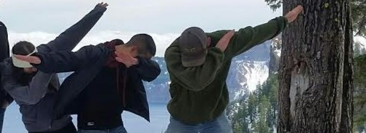
Ready for an incredible Photoshop job? Well here it is! Kind of silly I know; however, it accurately depicts my feelings right about now concerning our upcoming snowy & cold winter weather.
Basically we have a very good shot at a snowstorm Sunday night through much of the day Monday with potential for more snow over the course of this coming week. This the most certain I’ve been about snow falling in the Salem area since I began this website last winter. Let’s get to it!! I’ll give the highlights first along with the extended forecast, and then if you’ve got time I have the all-important “game changers,” & and a few closing thoughts further down.
Highlights
Tonight/Sunday morning: Most likely just rain. There’s a slim chance some of you will briefly see accumulating snow very early Sunday morning before switching back to a cold rain as the day wears on.
Sunday: Cold rain. In some places a rain/snow mix at times.
Sunday night – Monday night: Rain/snow mix changing to all snow. Snowy much of the day Monday. Now, I greatly dislike guessing snowfall amounts as there are so many factors that can mess these guesses up, but for now I’m going with at least 2 inches for everyone with a fair possibility of much more. This includes all areas from Corvallis up through Portland. See “Game Changers” below.
Tuesday – Thursday: A very cold & damp period with cold rain at times, and a few additional shots at sticking snow to the valley floor.
Friday – next Sunday: Very chilly weather continues, but for now it’s at least looking dry.
Game Changers
Here’s my possible and ever important game changers section that could throw a wrench into the forecast.
- Very slim chance for this one, but the opportunity is there for a little snow tonight specifically in the higher hills around the valley (500 – 1000’). If I feel the need to, I’ll do a quick update tonight regarding this potential as I should know more by then, but for now just plan on a cold rain.
- Currently for the Sunday night/Monday storm I’m thinking 2 – 5” of snow; however, this storm is carrying a lot of moisture with it which means we and/or other locations in the valley could end up with up with close to a foot of snow!! Remember this is just possible game changer and is not what I’m expecting to happen at this time…
- I don’t see this happening, but heck, here in Salem we are custom to disappointment when it comes to snow, so I’ll mention it. There’s a small chance this storm goes too far north in which case we get a ton of cold rain.
- An even slimmer chance this storm goes too far south leaving us very cold with only a few flurries.
Final Thoughts
This Sunday night/Monday storm is looking more and more likely as time goes on with widespread accumulating snow almost certain up and down the I-5 corridor from at least Eugene up through Portland.
Tuesday – Thursday of next week will feature more opportunities for snow as low pressures (aka storm systems) look to pass by to our south allowing moisture to ride up over the cold air in place resulting in more snow. Hard to narrow down details yet, but keep in mind more snow beyond the Monday storm is a very real possibility.
As always, keep your eyes open for those updates and be safe!!


